
Mt. Sill via Southwest Slopes — July 1–4, 2026
Over the holiday weekend, I decided to go for a summit bid of Mt. Sill, one of California’s few 14ers perched in the center of the Palisades subrange with fantastic summit views. Since I wasn’t sure of my ability to ascend the shorter but more intense North Couloir, I decided to make a more leisurely trip out of the Southwest Slopes route, which contours around the Palisades via several cross country passes before ascending the more gentle slopes from the south.
At first, I had thought this trip would be a boring slog centered entirely around summiting Sill, but I was surprised each day by the variety of beauty I encountered on this hike.
Day 1: South Lake to Barrett Lakes via Knapsack Pass
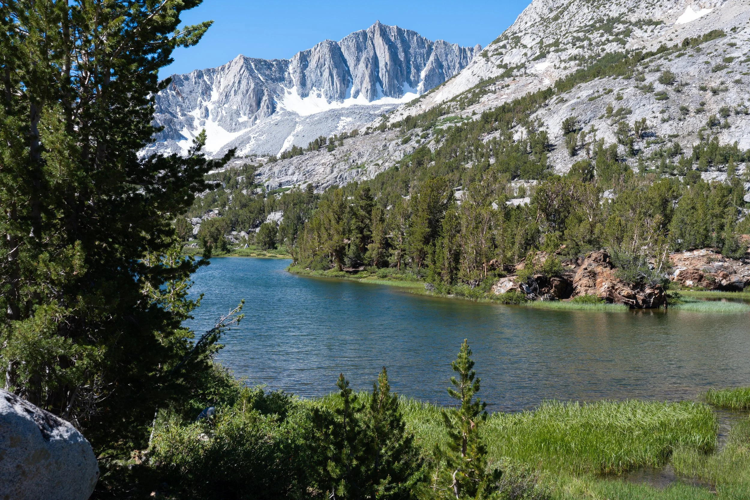
I started up the South Lake trail at 9 AM. This was only my second time using this trail (the first being my climb of Mt. Agassiz a couple of years ago) and the views right out the gate were much nicer than I remembered. I made it to Long Lake in about an hour and took a long snack break while admiring the views. The trail quickly entered the alpine zone and I got my first views of the Sierra Crest with Mt. Agassiz as I approached the rocky switchbacks below Bishop Pass. Another extended break here and I was up and over the pass in no time.
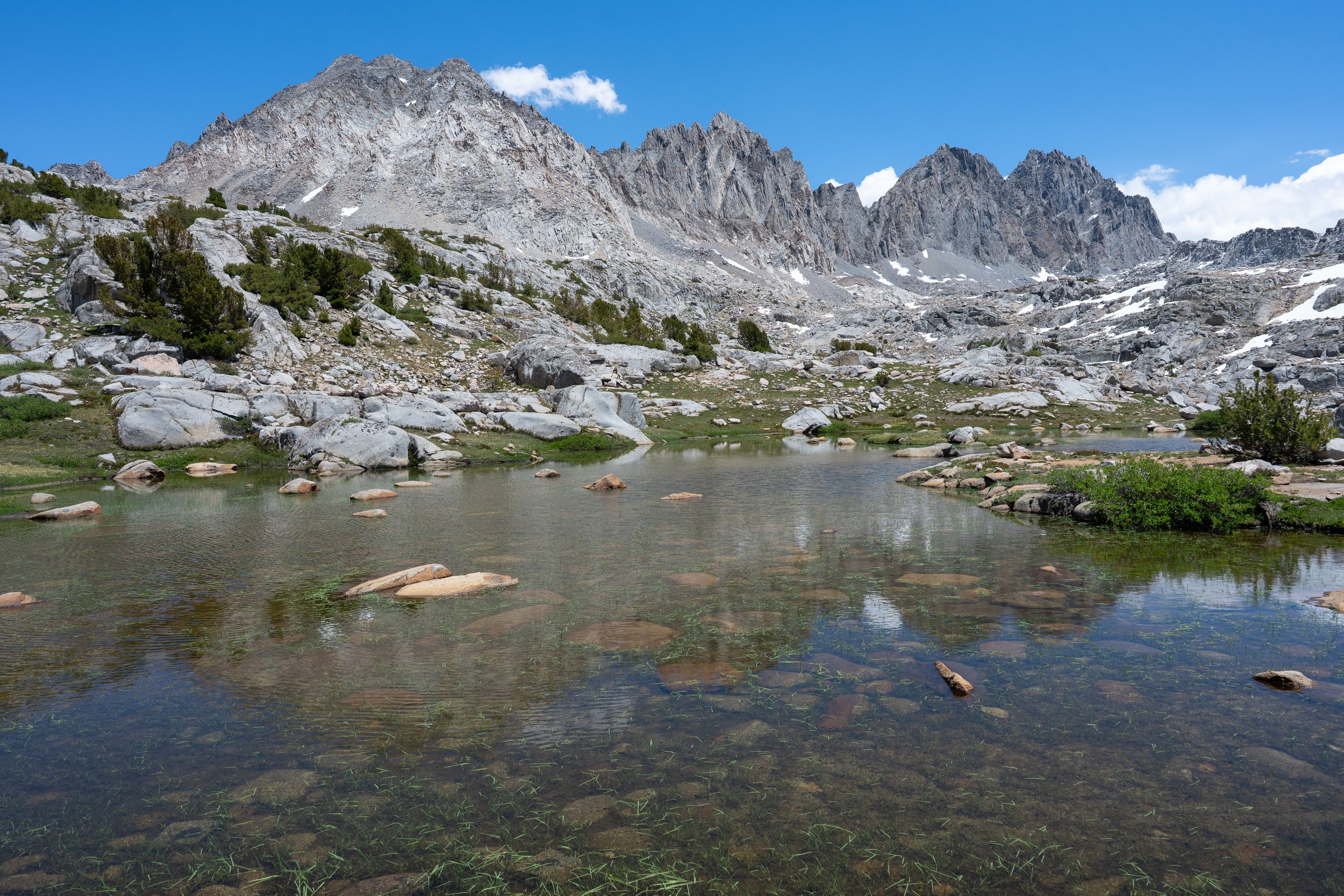
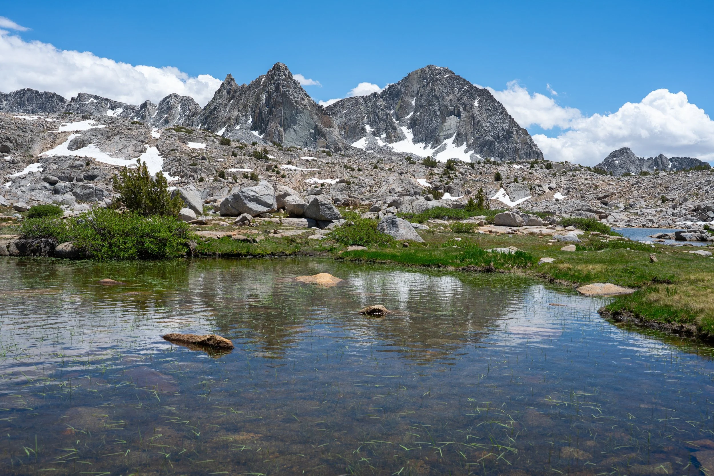
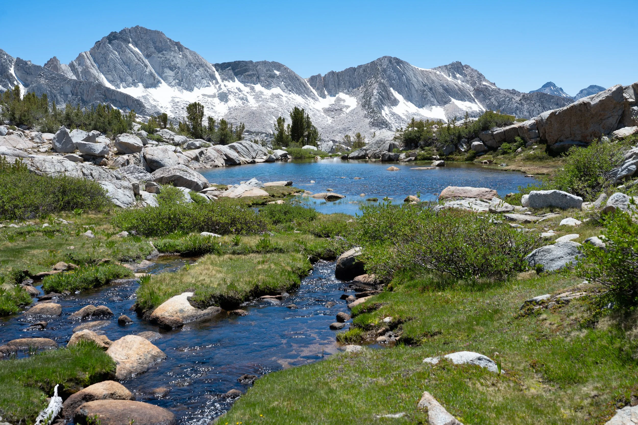
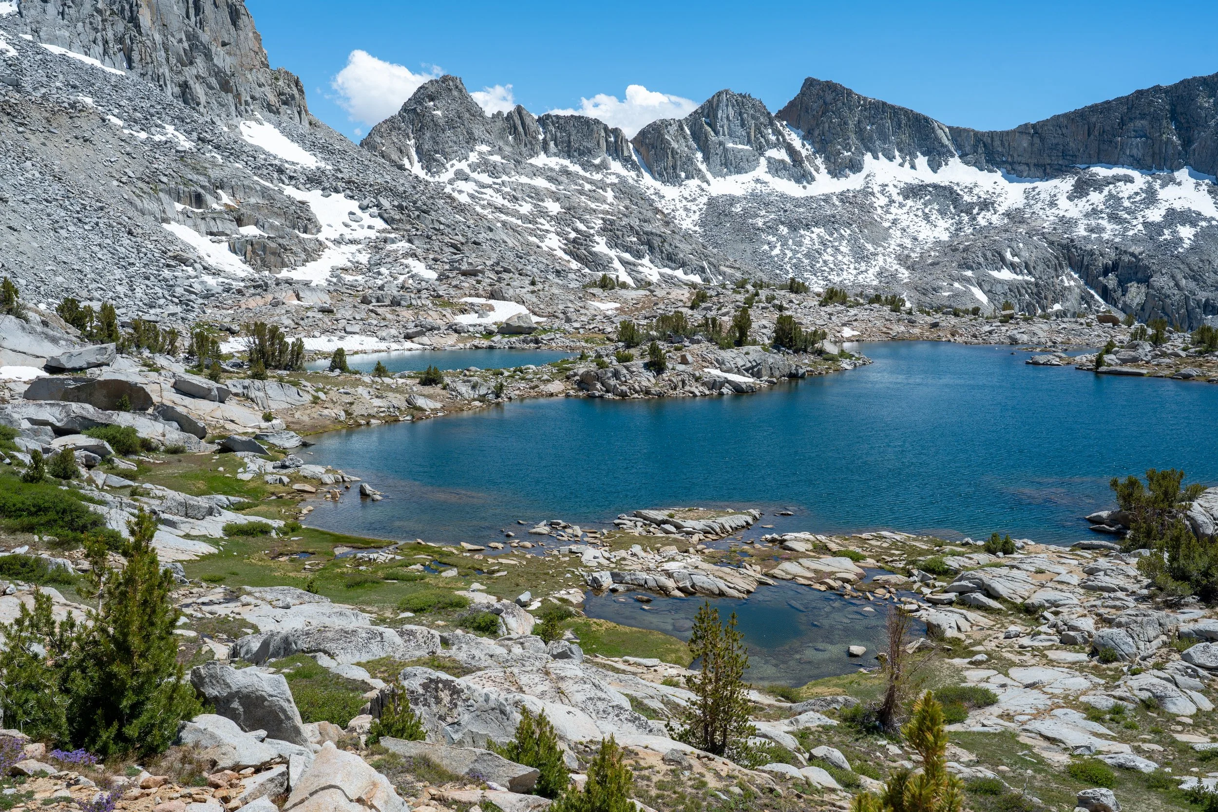
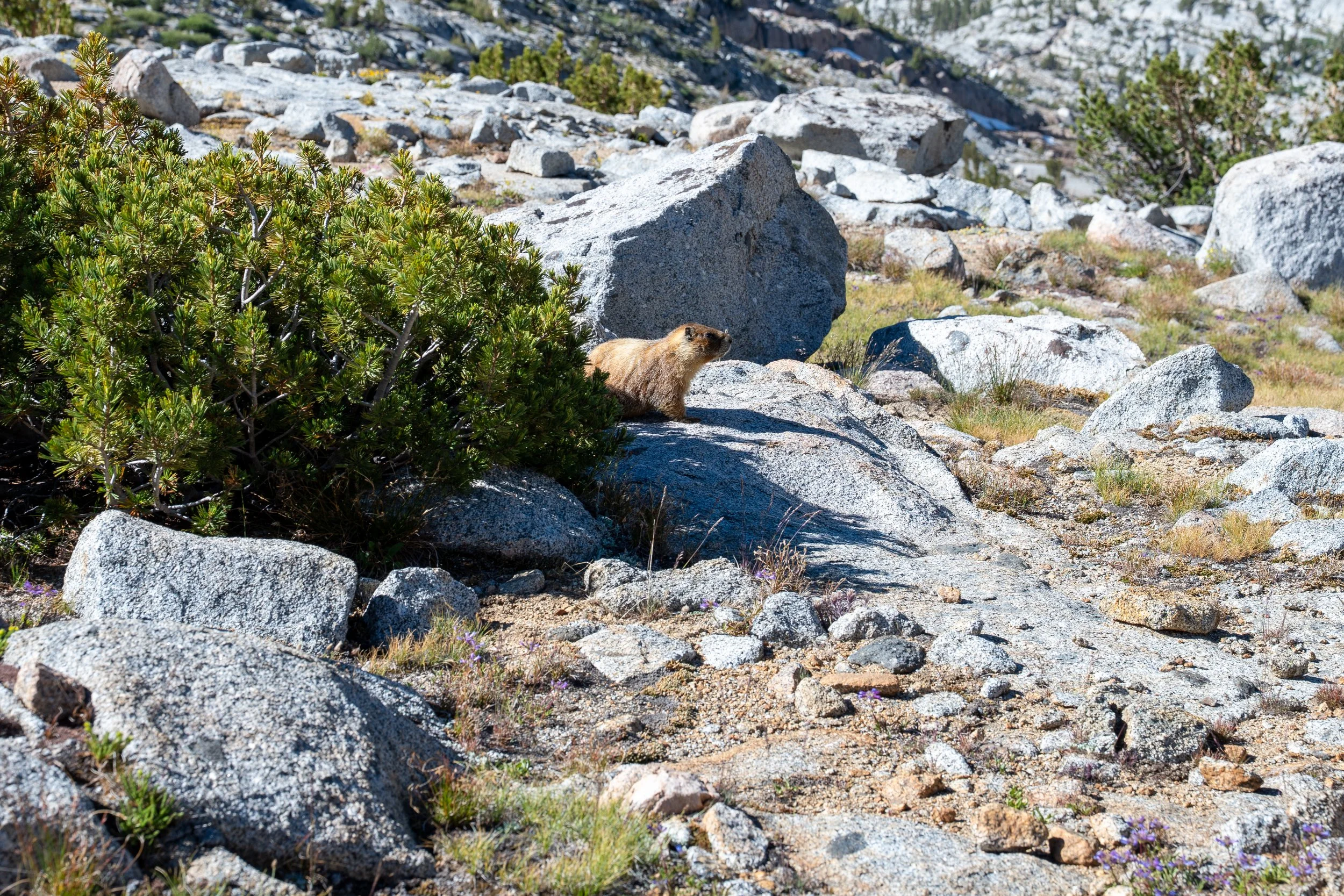
The cross country through Dusy Basin was delightful and took longer than it should have due to my stopping every few minutes to take photos of the lush meadows and babbling creeks. Eventually, I approached Knapsack Pass and the start of my first navigational blunder. Since I had approached from the upper basin, I planned to do a high traverse over what looked like decent talus about level with the top of the pass. This ended up being a major mistake since the entire talus field consisted of car-to-truck-sized boulders that eventually became too annoying to find a way through. It took me about 2.5 hours to make it to the top of the pass and the going only got easier once I met up with the system of slabs that comprised the correct route. A lesson to make sure you always have a proper route description of any cross country Sierra pass/col, even if they look trivial on a map.
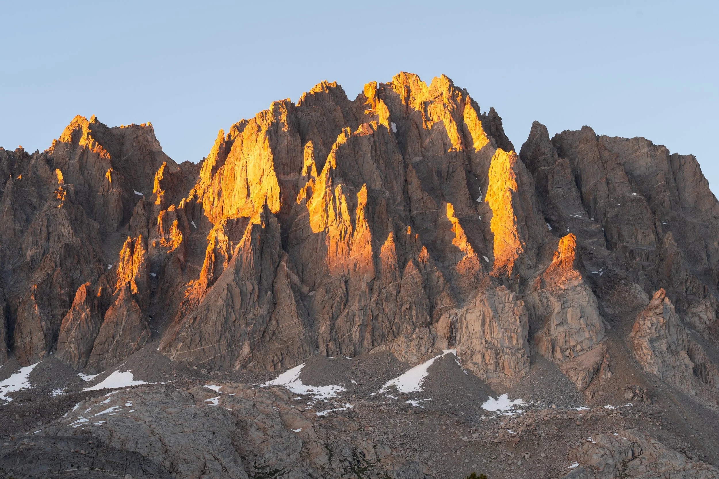
The descent into Palisade Basin was very quick. I set up my tent in the company of tons of mosquitoes while taking some shots of the last sunlight on the Palisades.
Day 2: Barrett Lakes to Polemonium Glacier
The second day was quite relaxed and involved me moving base camp closer to Sill so I’d be better positioned for a sunrise summit bid the next day. Due to how little sleep I got before this trip, I slept for ten hours the first night. This meant that by the time I was ready to get moving around 9 AM, my tent was besieged by thousands of bloodthirsty mosquitoes all waiting for me to come outside. The Permethrin I applied to my clothes the previous week seemed to work wonders since I escaped with only a couple of bites.
Crossing Palisade Basin ended up being much more pleasant than expected. It all consisted of grassy slopes and granite slabs. My route mostly contoured around the northwest shore of the largest Barrett Lake and then up a system of gentle slabs towards Potluck Pass. At this point, I made a decision to scramble up the ridgeline connecting the pass to Barrett Peak and then drop into the Polemonium Glacier basin rather than descend Potluck Pass on the east side and contour around the basin. This ended up being an excellent decision since the slopes of Barrett Peak were mostly sand and easy talus below 12,900 ft and easy, stable talus higher up. I think I crossed the ridge around the 13,480 ft mark. The only challenges were larger talus in the final hundred feet of gain and finding a spot to cross easily.
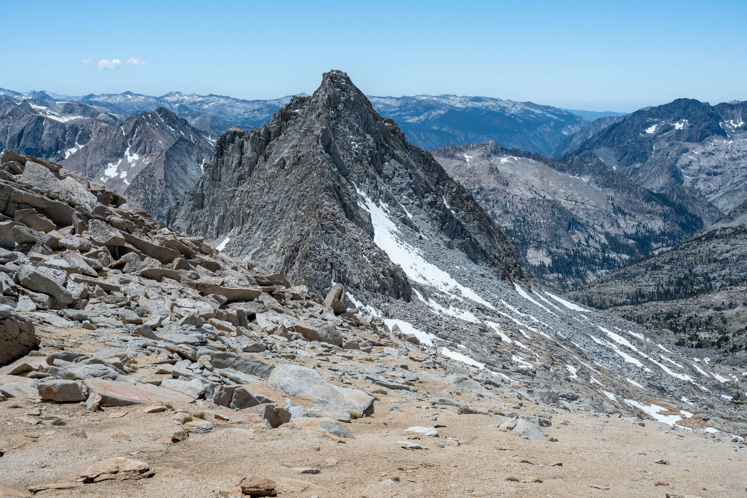
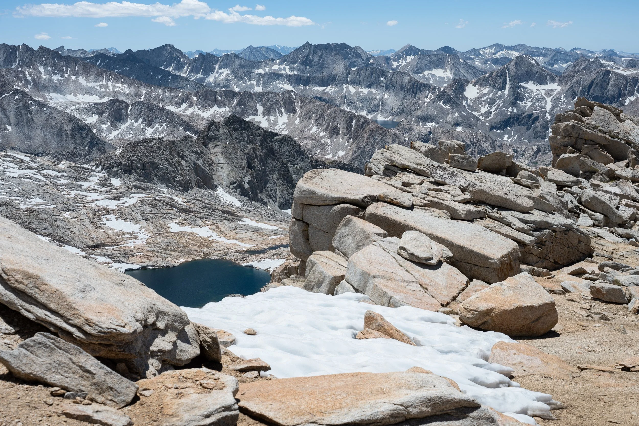
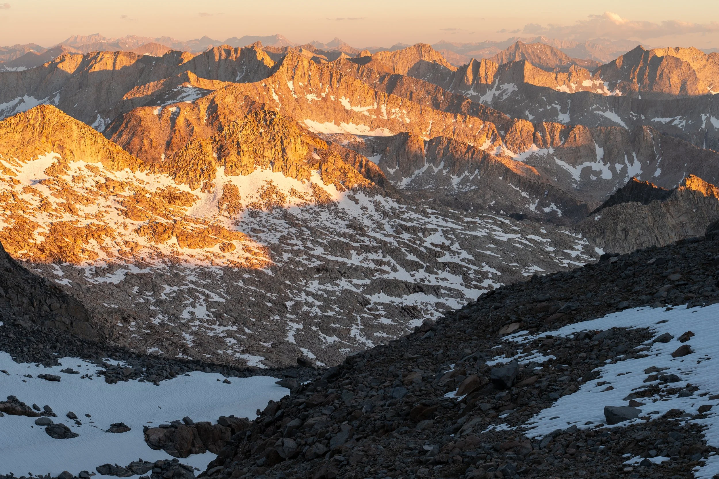
The north side of the ridgeline was initially quite steep but gave way to more gentle but looser terrain below the 13,400 ft mark. This route also gave me a very clear view of the entirety of Mt. Sill’s southwest slopes and I took plenty of high-res shots with my camera to analyze later. As expected, the “standard” gully up the southwest slopes was entirely snow-covered and I didn’t like my odds of successfully ascending it in the morning. Instead, I planned to head up the southwest ridge which I had read was class 2-3. I could see an easy line up to the head of the basin and contouring in a northerly direction to meet the ridge.
I made it to camp very early and took care of chores while debating whether I should do a recon sunset summit as well. In the end, I decided to forgo the sunset summit attempt to save energy and to avoid potential rain from thick clouds on the other side of the peak.
My route up Sill in red. The section connecting the glacier with the ridgeline was a bit awkward and consisted of downsloping slabs with most holds also sloping downwards. My descent paralleled a gully and was much easier on a combination of scree, dirt, and talus. The standard gully is marked in green. Take note also of the notch in the summit ridgeline east of the true summit which has to be crossed if ascending any of the gullies east of the standard one.
Day 3: Mt. Sill summit + back to Dusy Basin
I woke up at 3 AM after only getting 4-5 hours of sleep. I only had maybe a mile and 1100 ft of elevation gain to the summit, but I was being very cautious and giving myself a buffer to catch sunrise in time. After passing the first gully, I realized that the terrain connecting the glacier to the ridgeline was not as straightforward as it had looked from afar. Instead of talus, it was mostly one large mass of downsloping rock in which holds — while very stable — were also downsloping and awkward. This lasted for maybe 200 vertical feet until I was back on stable talus. I eventually met up with the southwest ridge which was easy talus hopping.
Beginning around the 13,800 ft mark, one has to slip behind the very prominent horn separating the “standard” gully route from the southwest ridge. I encountered several very brief sections of class 3 rock from here to the summit. These sections had very little exposure and mostly just required friction to work my way up steep (but short) gullies which had not-so-optimal holds. Before I knew it, I was standing on the summit well before sunrise. I spent the valuable extra time scoping out locations with the best vantage points. The summit is relatively flat, but the views of the Palisade Glacier are blocked to the west by a large platform slightly below the summit. I decided to climb up to this platform (easy class 3 over very large talus) and wait for sunrise.
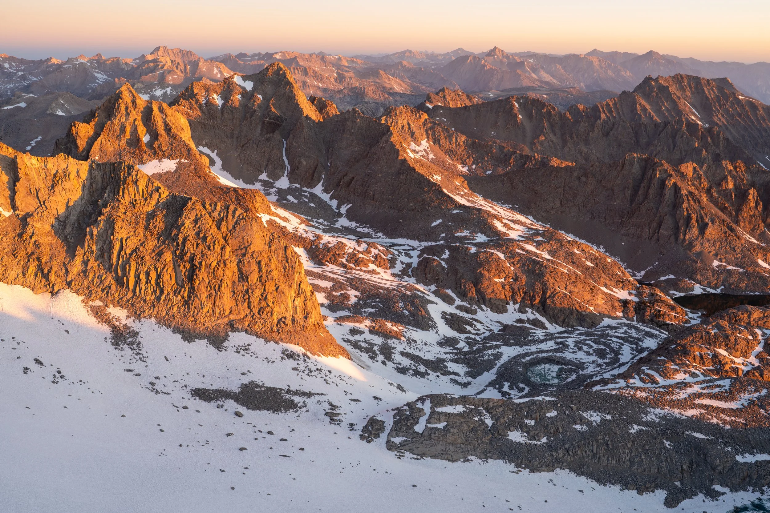
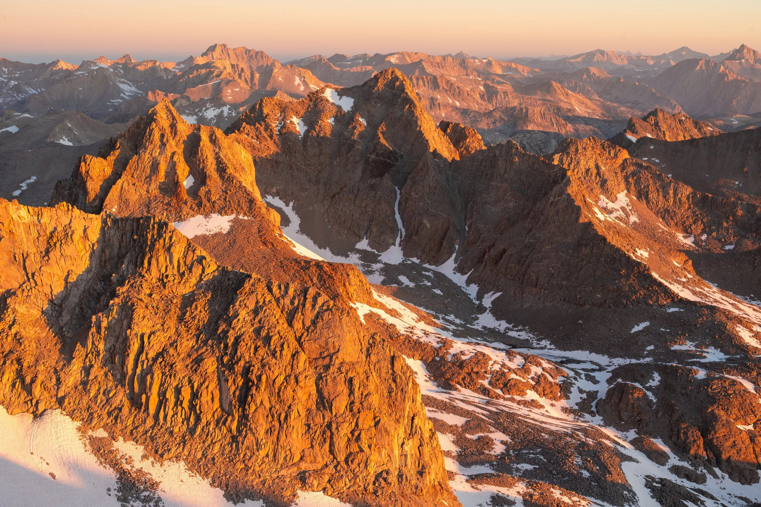
Sunrise looking west from the summit of Mt. Sill.
Despite it being a holiday weekend, I saw no one else on the summit or any of the other routes. After soaking in the views for nearly 3 hours, I decided to head back to camp and try to make it back to the trailhead. My first order of business was attempting to suss out a way around the summit notch that would allow me to descend one of the snow-free gullies to the east. This was much harder than anticipated since the view from above the notch is obscured by steep cliffs. The pucker factor of potentially falling into the notch didn’t help either, and after a few minutes, I gave up and decided to descend the southwest ridge. On my way down, I noticed a faint bootpath that led me into one of the western-most gullies. This route was a combination of scree, dirt, and talus with bonus sky pilots sprouting everyone on the upper reaches. I skirted some lingering snow by hopping on the ridge between two gullies and found myself back at camp by 9 AM.
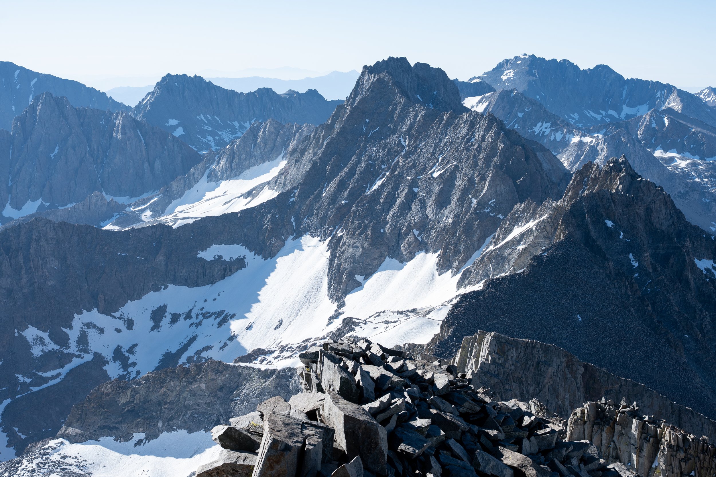
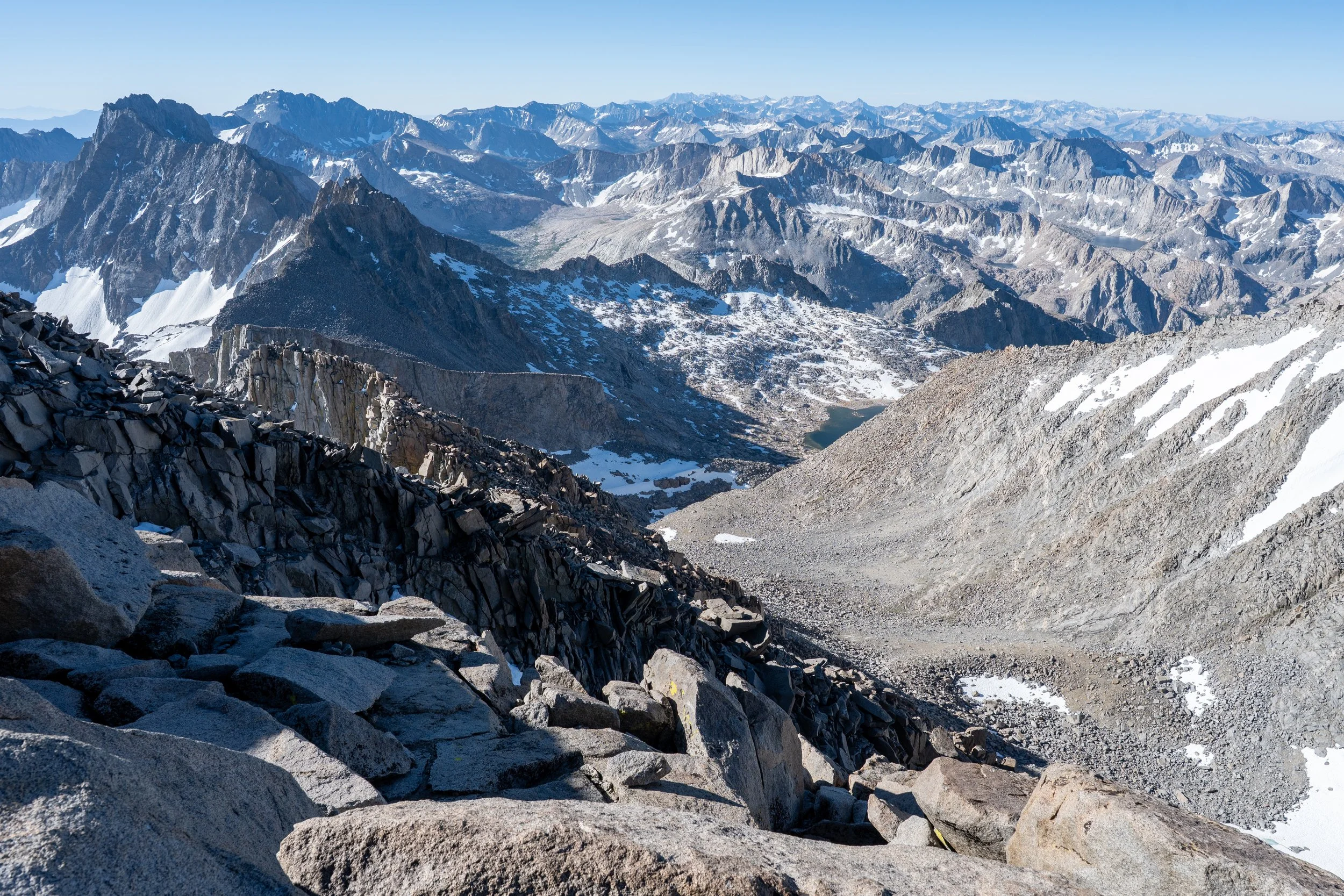
View west to north from Mt. Sill’s summit.
Panoramic view from the summit of Mt. Sill.
At this point, I was quite tired and feeling the effects of sleep deprivation and altitude so decided to nap for a couple of hours, which turned into lounging around camp for even longer. I didn’t really get moving until 1:30 PM, at which point making it back to the South Lake trailhead in one push was seeming highly unlikely. I planned to just push as far as I could, preferably at least back to Dusy Basin, and then re-evaluate my situation once the sun set.
For my deproach, I opted to forgo Barrett Ridge and go the long way around to Potluck Pass. This ended up being a mistake: the short section connecting the Polemonium Glacier basin and the hanging valley above Potluck Pass consisted of some of the most heinous terrain I descended on this entire trip. Ball bearings on top of 1 mm of dirt on top of smooth granite slabs. It felt like I couldn’t take a step without losing my footing. Next to this crap was a pile of larger ball bearing-type rocks which all moved instantly underfoot and also a pile of extremely steep larger talus that looked like it would give way if I even looked at it the wrong way. In the end, I grit my teeth and just dealt with the loose rock and dirt, which was only not completely terrible because it wasn’t that steep. Snow began at the 12,800 ft mark and I gladly took it down to the talus fields below.
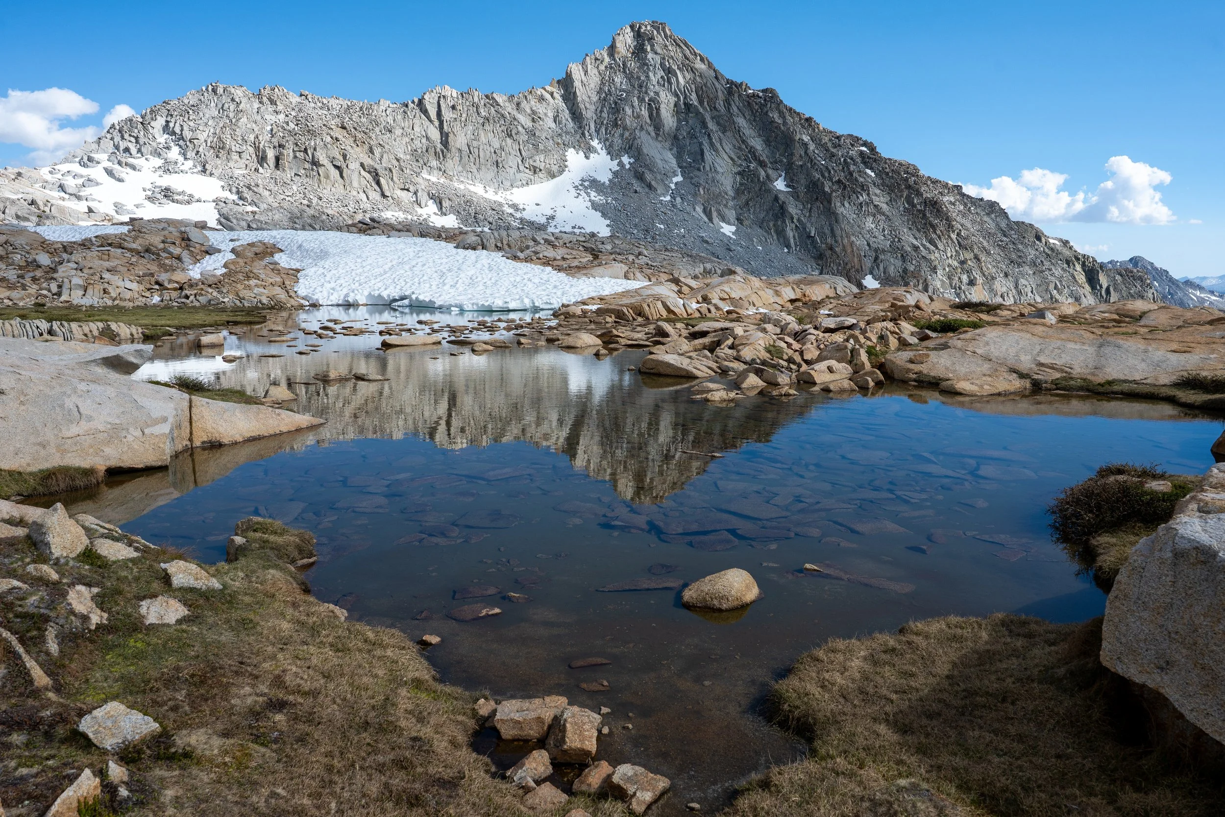
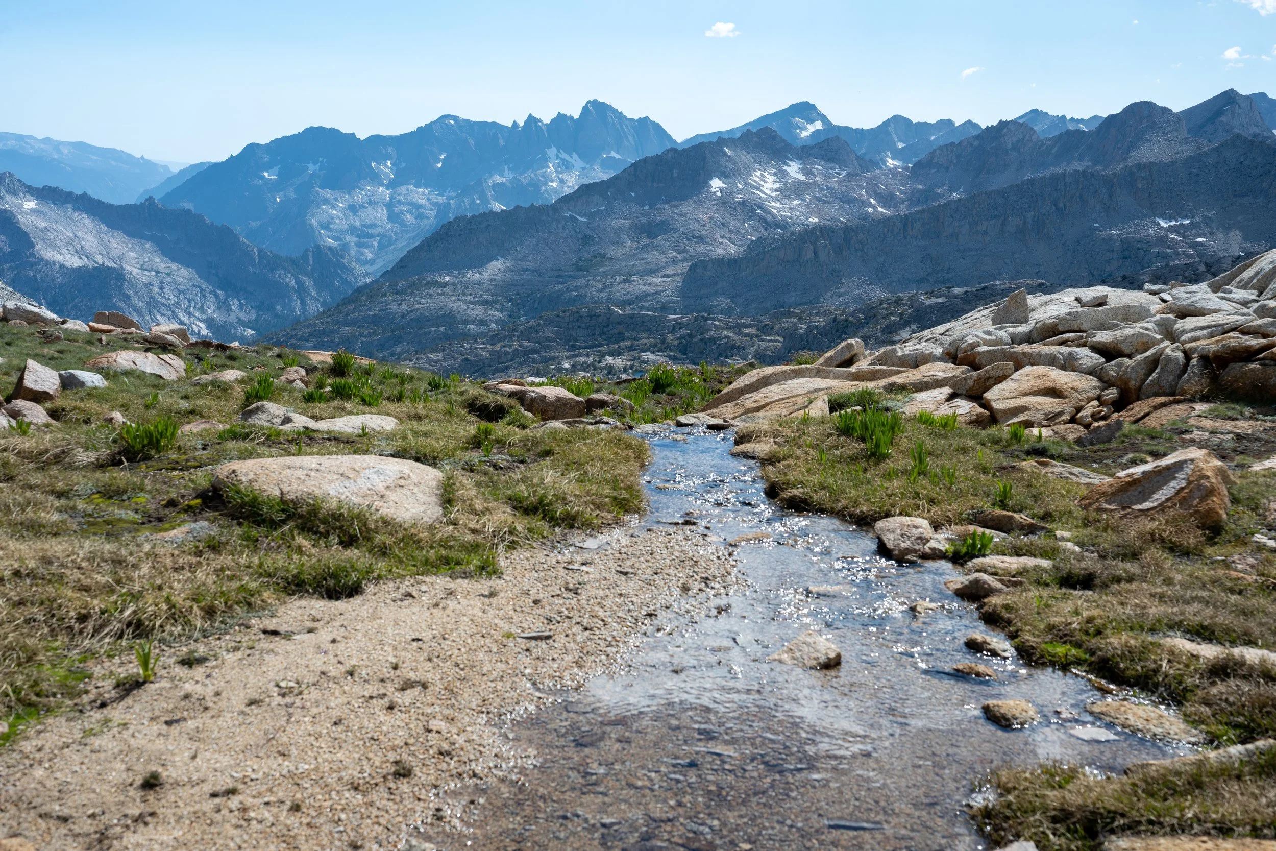
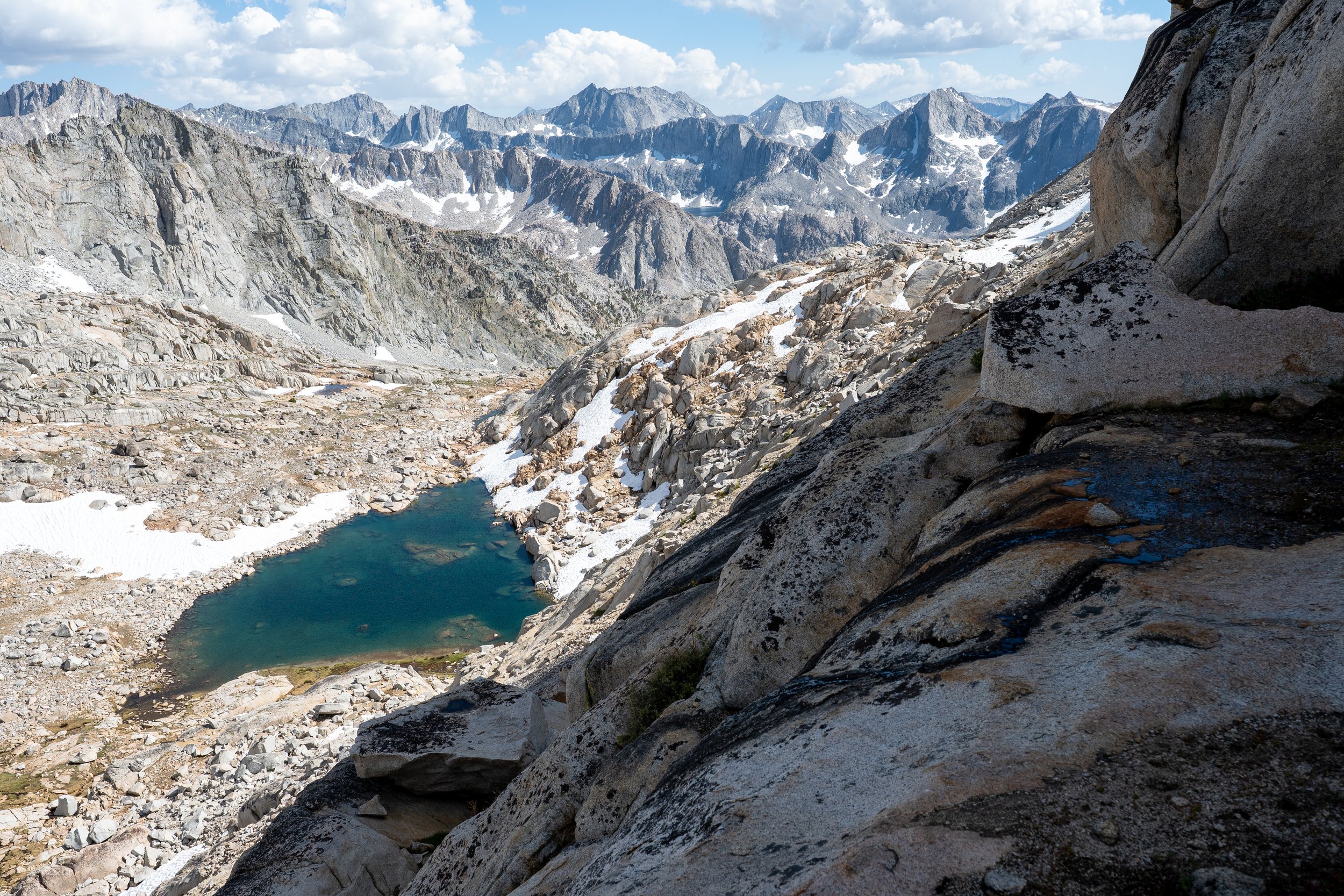
Upon taking a break near Potluck Pass, I was surprised by a solo backpacker who appeared out of nowhere. We didn’t exchange many words so I’m not too sure where he came from, possibly Scimitar Pass. He disappeared quickly while I took a much needed break. The way up Potluck pass looked like it followed a series of grassy ledges to the top although the sandy terrain to the south looked easier. Since I couldn’t get a clear view of how the sandy terrain connected with the cliff bands between it and the pass, I opted for the ledges. These were fine although definitely had some moments of class 3 terrain that were awkward with my overnight pack. Once over the pass, I cruised very quickly down to Barrett Lakes, the hordes of mosquitoes quickening my pace.
At Barrett Lakes, I met a couple who were planning to climb Sill the next day. I shared my route info with them on the southwest ridge and they showed me the current route down the west side of Knapsack Pass. The correct route skirted the edge of the talus field on slabs and grass and intermittently wound through dense brush. By 7:30, I was back in Dusy Basin and making great time but felt exhausted and hungry. After thinking on it over dinner, I decided to throw down my tent in a nearby site and get a few hours of sleep before waking up super early to do the final 7 miles to the trailhead. If I’d continued on, I would have likely needed to sleep in my car anyway.
Day 3.5: Dusy Basin to South Lake trailhead
I woke up at 2 AM and made short work of cross country travel through Dusy Basin. By 4 AM, I was on top of Bishop Pass and able to watch sunrise from Long Lake. By 7 AM, I was back at South Lake and on my way home.
Overall, this was a fantastic way to summit Mt. Sill. Every day was full of varied and excellent views of the Sierra and I was happy with my route choice even though I’d already been to Dusy Basin before.
—Justin
