
Mt. Ritter — Aug. 14–16, 2026
Standing on the summit of Mt. Ritter has long been a goal of mine since first visiting the area in 2018 with my friend Ngan (we visited Ediza Lake, went up Volcanic Ridge, and had vague plans to summit Ritter that never happened once we saw how far we’d have to go). I’d always found an excuse to skip in since moving to California — too long, too far, easier hikes on my to-do list, etc. etc. — but I’ve had summit fever all summer and finally decided this would be the year I did it. I opted for the more scenic route up the west slope, which goes through the west and less-traveled side of the Ritter Range.
Day 1: Rush Creek to Island Pass
The fastest way to access most of the routes up Ritter except the standard/popular Southeast Glacier route is via Thousand Island Lake. Typically, the closest and easiest trailhead to Thousand Island Lake is Agnew Meadows, but the years-long reconstruction of the Reds Meadow Road meant that my timeline wouldn’t work with its closure schedule. Instead, I entered from Rush Creek, which is shorter than the Agnew Meadows approach but over 1000 ft more gain (1400 more than the River Trail and 1100 more than the High Trail). The Rush Creek trailhead sits at a low elevation of 7200 ft and bakes in the sun from the very moment the sun rises. The only saving grace here was that a long heatwave finally broke a few days before my hike. It was very windy and 68 degrees in the late morning as I started my hike in full sun.
On my last several trips, I’ve felt more in shape than I have in years. This day felt worse than my first time going up this trail in 2023 when I was decidedly less in shape. A little bit demoralizing, but could potentially be chalked up to having four days of food and a helmet with me. Onwards and upwards. I made it to Spooky Meadow (9440 ft) in about 2.5 hours and saw only one other party heading up with several parties heading down. The last stretch from Clark Lakes to Thousand Island Lake took longer than expected with demoralizing downhill sections resulting in lots of regained elevation.
Afternoon light on Banner Peak.
Finally, I headed up the PCT/JMT with the throngs of thru-hikers and set up camp in the shelter of a grove of small trees. The winds were ferocious (gusting up to 30 mph), which was a major concern of mine heading into this trip. The forecasted winds looked pretty uniform each day: very windy during daytime and slightly less windy at night. Miraculously, after nightfall the gales died down entirely and the night was completely and utterly still.
Day 2: Island Pass to Ritter Lakes
I woke up without an alarm just in time for a brilliant sunrise. Even though I’ve camped here so many times in the past few years, I stayed for an hour just to watch the sunlight gradually paint the trees and tarns in golden morning light. On this day, I planned to move my camp to Ritter Lakes in preparation for a sunrise summit bid the next morning. I had done this exact route several years ago with my friend Ngan (although only day hiking from Lake Catherine to Ritter Lakes) and wasn’t too concerned about sticking to any particular timeline.
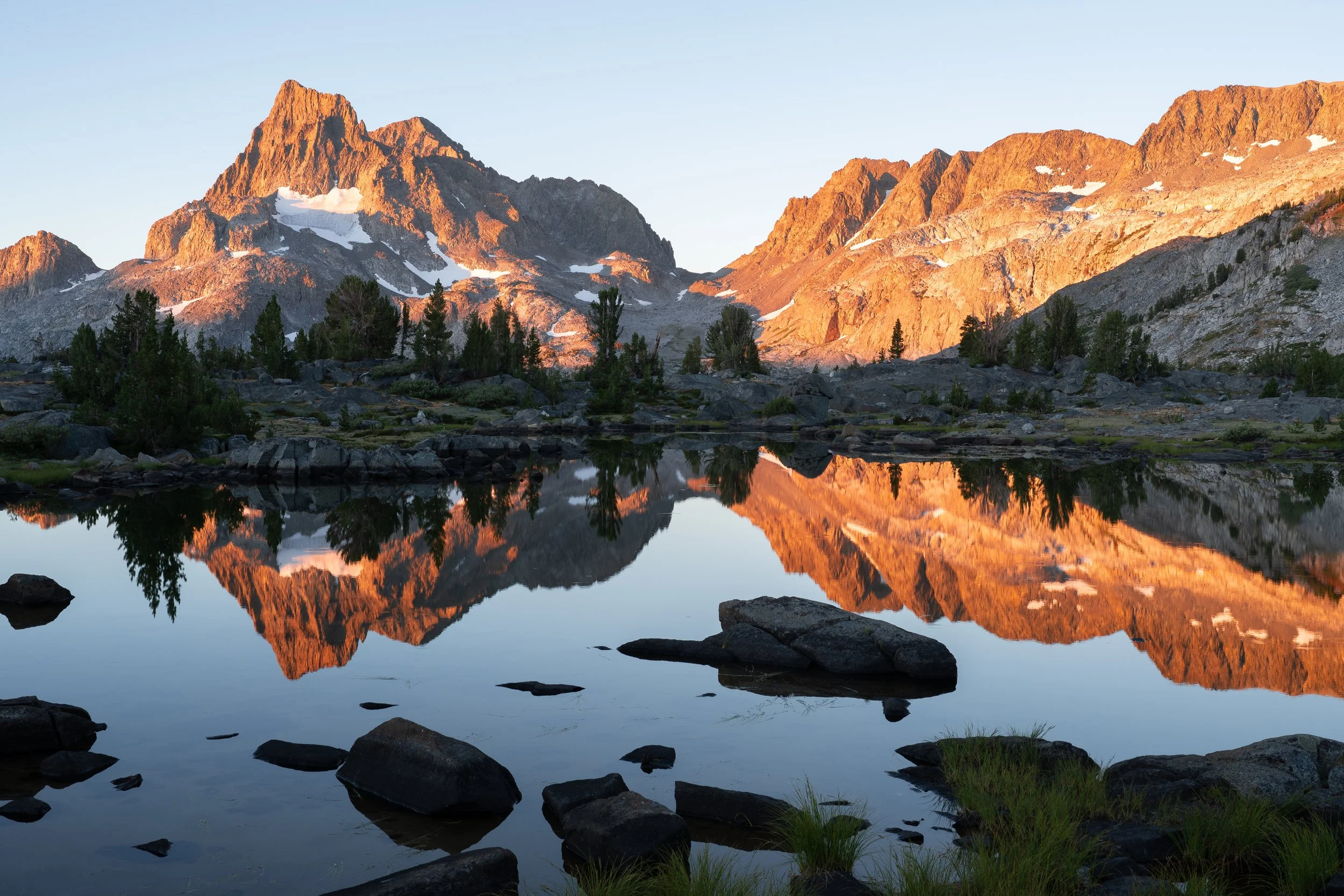
Sunrise over Banner Peak and Mt. Davis.
I left camp around 9:30 AM and went cross country until I met up with the use trail to North Glacier Pass. This use trail is well-defined until about 500 ft below the pass, at which point it becomes a talus and scree romp to the top. I met a couple day-hiking from Thousand Island Lake who told me they were trying to summit “the peak,” by which I assumed they meant Banner. We chatted for a bit before they passed me. A bit later, a man descending from the Davis plateau who turned around when he saw how far the true summit was (very valid: I climbed it last summer from the standard route and complained about how tedious the last couple of miles were).
At Lake Catherine, I bulldozed my way through the worst of the talus and took a much-needed break at the lake’s outlet. Here, another four day hikers were lounging as well. I slowly made my way around the south side of the lake and dropped down to the middle Ritter Lake via an unexpectedly steep and somewhat loose talus field. The west side of this lake consisted of grass and granite slabs which made for easier going, and the final ascent to the upper lake was on very easy talus alongside its outlet. This lake is fed by the dead glacier above its south end and has a nice teal coloring to it that only gets better as the summer goes on.
I had plenty of time to kill and mostly lounged by the lake and pored over maps to make sure I understood the scramble route up Ritter. Even from afar, I couldn’t really pick out the entire route. I knew it consisted of two parallel bowls and one has to traverse from the lower bowl to the upper one before the former gets too steep and loose. The first bowl was fully visible from the lake, but the benches mentioned on SummitPost were not. The upper bowl was hidden behind cliffs so I wasn’t too concerned to not see it, but the traverse from the upper bowl to Ritter’s saddle looked impossible steep from my vantage point. I went to bed early and hoped that the steep parts wouldn’t look as steep once I got up close to them.
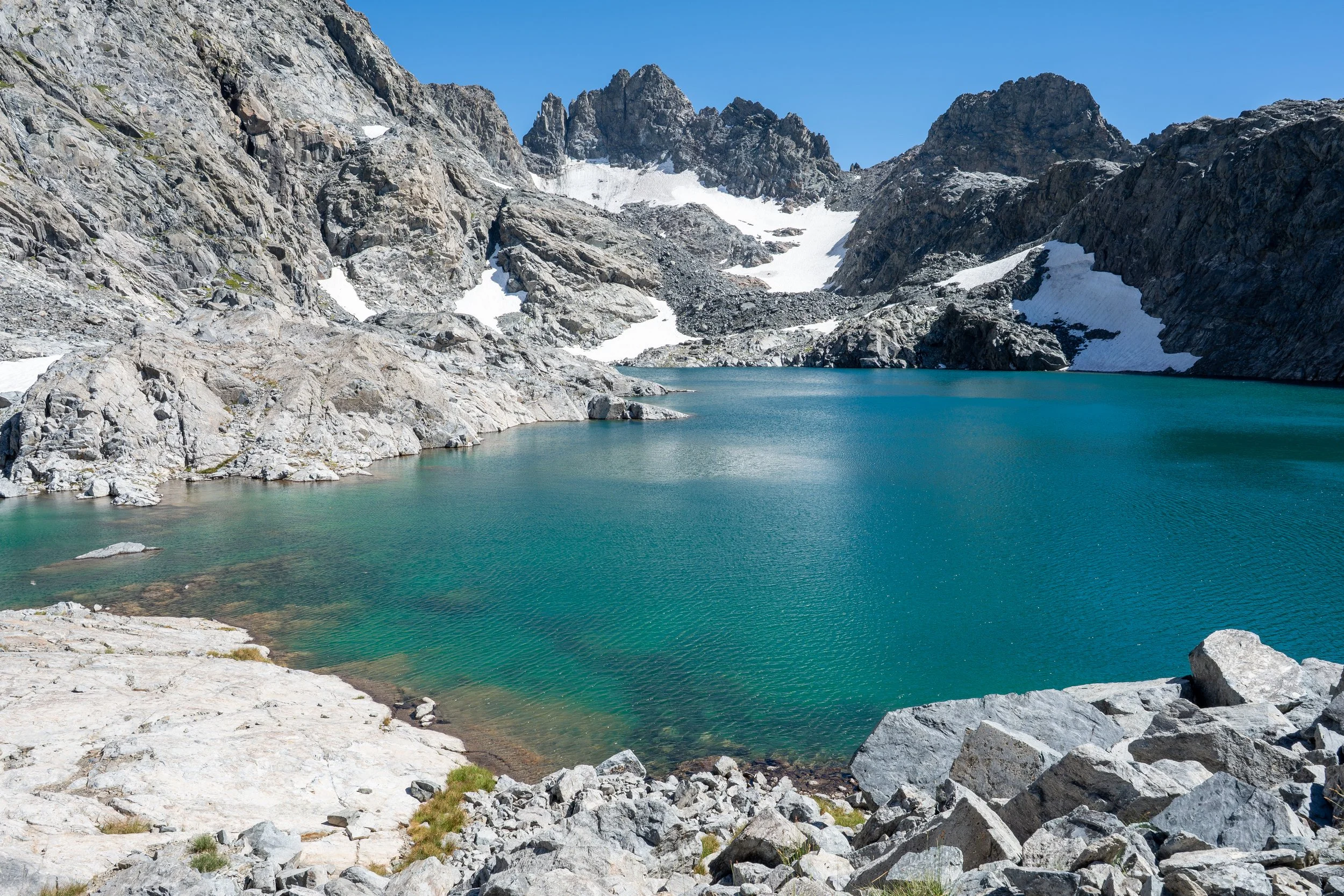
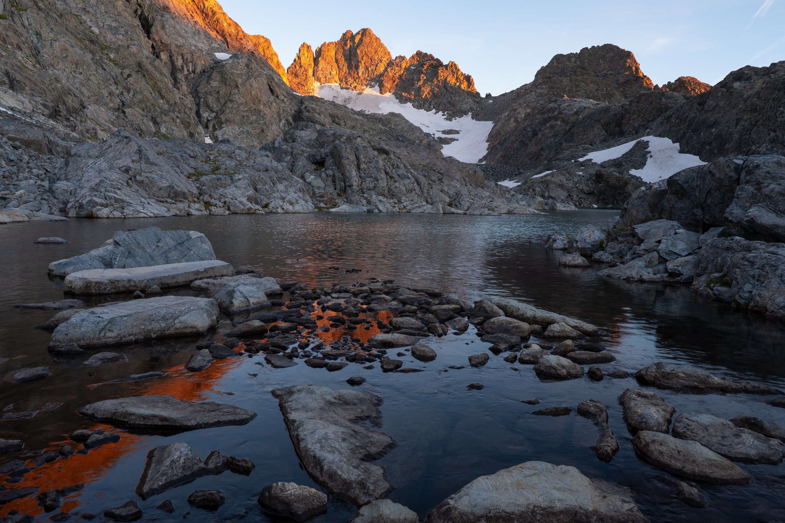
Day 3: Mt. Ritter via West Slope; out to Rush Creek
After a solid six hours of sleep, I woke up to my phone alarm at 2:30 AM and was more or less moving by 2:45. The initial push up a talus fan to a large lingering snow field (11,600 ft) went by quickly. The talus started off quite stable but near the snowfield became smaller, steeper, and looser. I frequently looked to the south to see if I could see an obvious bench leading to the upper bowl but it was challenging to see in the dark (the moon had set shortly after sunset making this a true nighttime ascent). Around the 12,000 ft mark, I saw a weakness in the cliffs to the south that looked like it might go, but others seemed to have traversed much higher around 12,000 ft. I decided to keep going up the fan and seek out a higher route which ended up not being such a good idea.
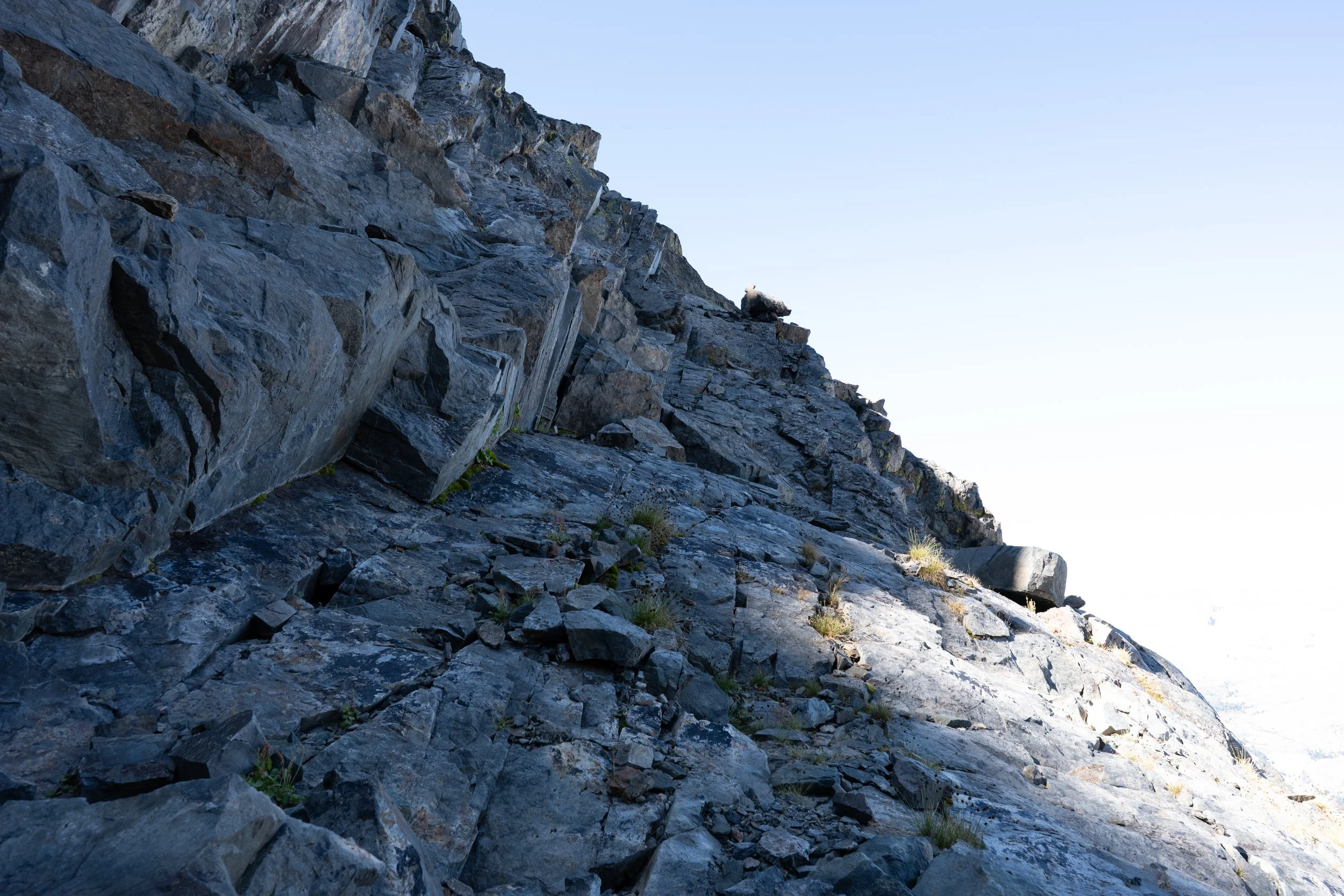
The fan steepened and loosened tremendously at 12,200 ft. I couldn’t see any way across the cliffs here that wasn’t at least class 4 and so decided to retreat to the potential lower crossing I had seen earlier. The backtracking was tedious and required a lot of focus due to the loose rock, and this wasn’t even the notorious chockstone above the fan! Thankfully, the detour didn’t cost me too much time and the crossing I had guessed at earlier turned out to go. It was steeper and airier than I expected (route descriptions and trip reports made it sound more like a traverse) but actually fun.
I breathed a huge sigh of relief when I finally found myself in the upper bowl. This part was steep and the talus was somewhat loose; not bad on the ascent but obnoxious on the descent. Around 12,400 ft, this chute split in two and I went left towards the saddle ridgeline. I knew I needed to leave this chute before it reached the false peak at the top, but the left side was steep enough and it was still dark enough that I couldn’t really see far enough to determine what went and what didn’t. I eventually reached the ridgeline just south of its low point. It was a little before 5 AM at this point so I took a long snack break and turned my phone off airplane mode to shoot off some texts.
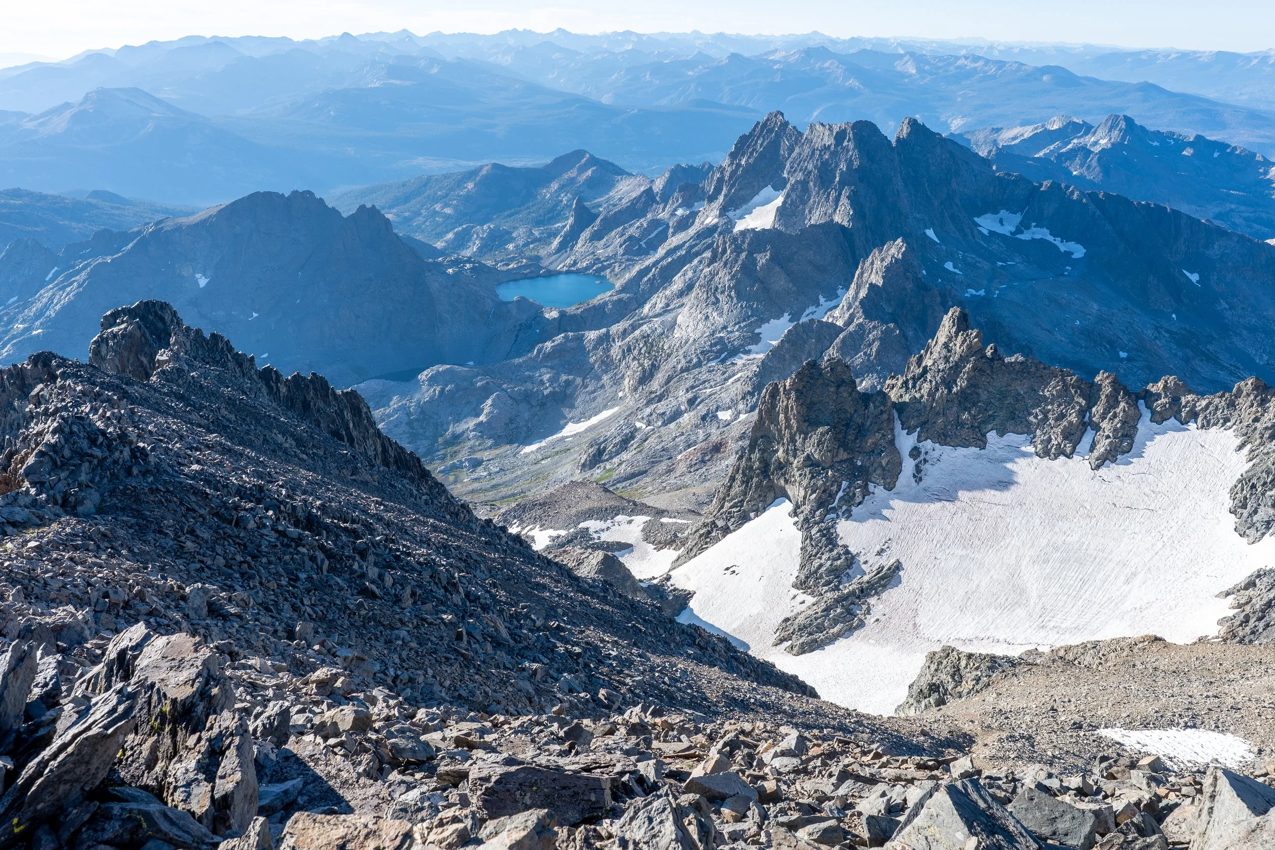
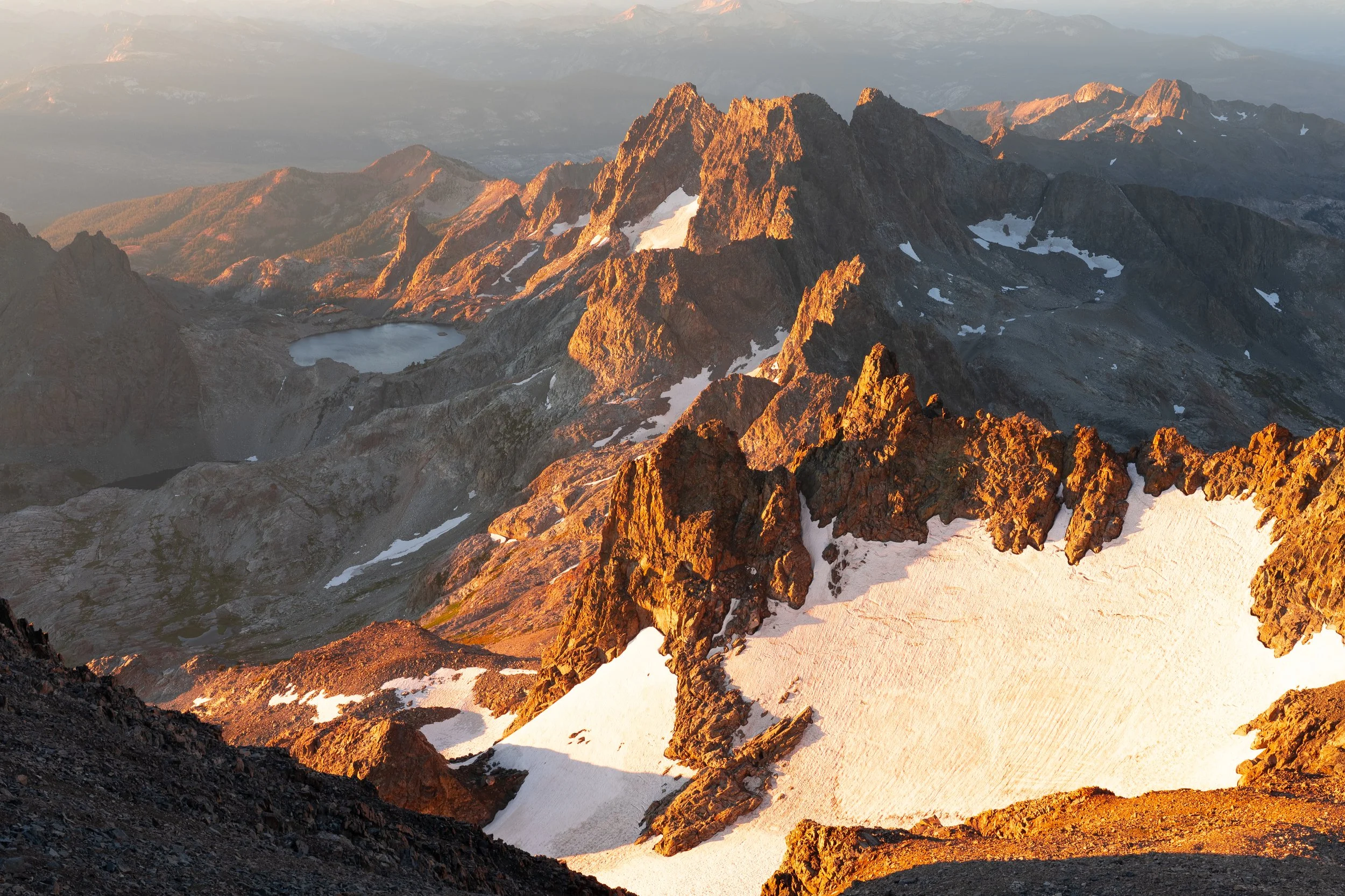
Sunrise from the summit of Mt. Ritter.
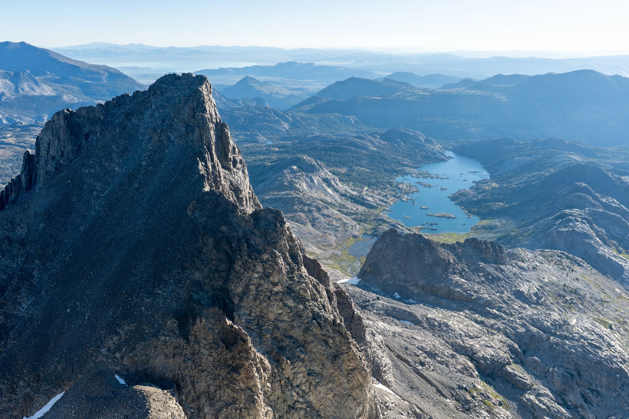
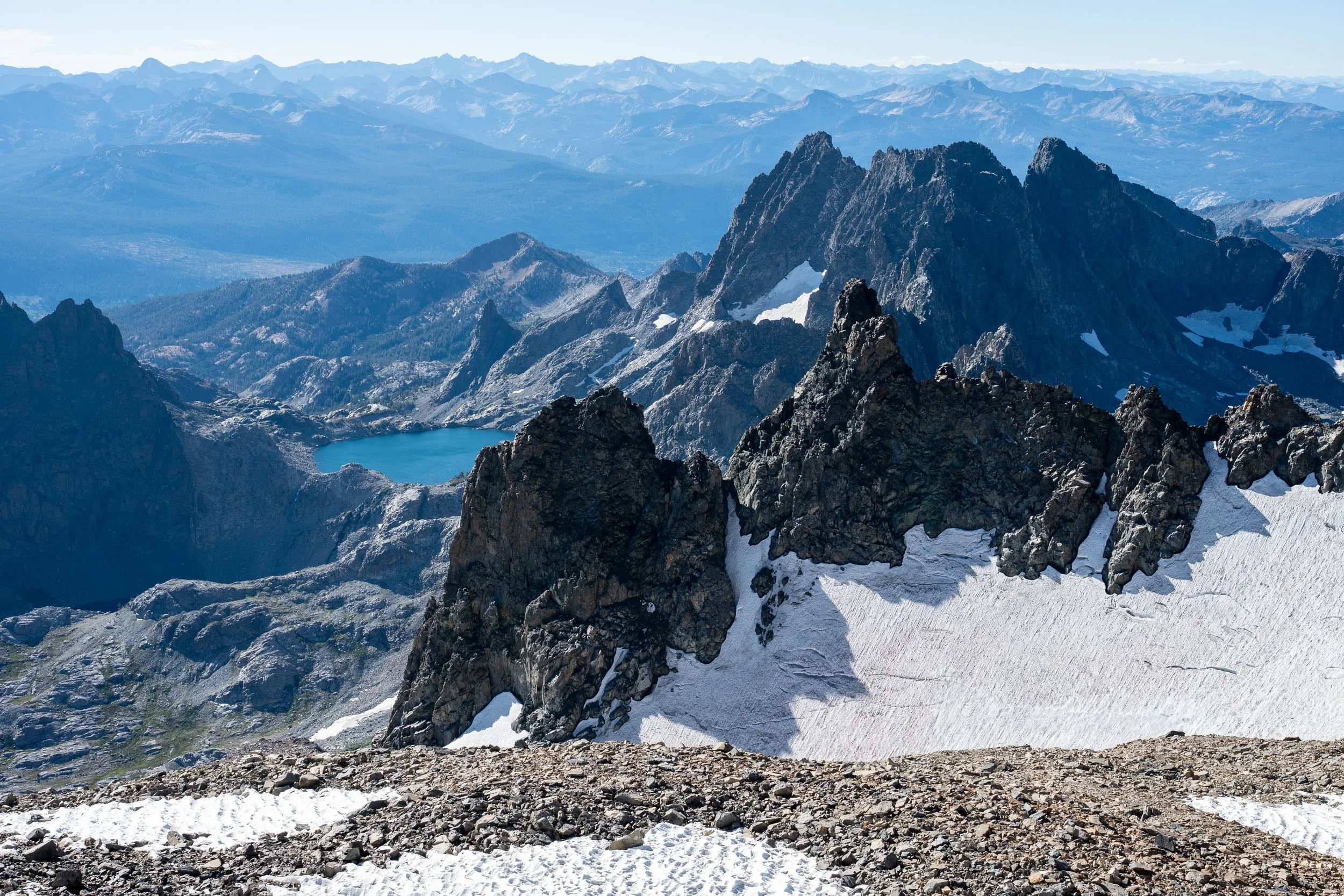
The final push to the summit was straightforward on stable talus. I made it by 5:30 and had a lot of time to scout out compositions for sunrise. I stayed mostly close to the true summit which I came to regret later on as I wandered over to the east side of the summit and found the views toward the Southeast Glacier much more open. There were tremendous views from Rodgers to Lyell and Maclure all the way to Davis, Banner, and Thousand Island Lake. The actual optimal orange lighting at sunrise was rather brief, but the early morning light on the Minarets filtered in at the perfect angle to make the scene dreamy.
I stayed on the summit for more than three hours before begrudgingly heading back down. I was extremely on edge for this part of the hike: most accidents happen on the way down and this route was definitely complex, but on the other hand I had the benefit of full daylight now. The first test was to exit the saddle at the right spot. I found my perfect traverse from earlier in the morning and quickly made my way back to the upper chute, trying to stay towards the center where it looked like I could possibly ride the scree and sand down. At the bottom of the upper chute, I looked around for a higher traverse back to the lower chute but was completely stumped and settled for heading down my ascent route. In the daylight, the descending traverse was much easier and I was shocked at somehow threading the needle through this terrain perfectly in the dark that morning.
The top of the lower bowl was much less exposed but infinitely more tedious due to the ball bearing-sized rocks underfoot. They shifted constantly, not enough to be dangerous but more than enough to force caution with every single step. After about 1 hr 45 min, I made it back to my campsite and breathed a sigh of relief. Now all that remained was the traverse through Ritter Lakes. I tried to pack up as quickly as possible and eat my breakfast at the same time. My original plan was to move camp to the Twin Island Lakes area and summit Rodgers at sunset, a ridiculous hare-brained plan that seems to only manifest when I’m planning these trips in front of my computer. I realized quickly that I hadn’t packed enough food to do four long days and decided this third day should be devoted to making it all the way back to the trailhead.
Panorama from the summit of Ritter.
I was moving by 12:30 PM and back at Lake Catherine by 2 PM. A quick break later and I was up and over North Glacier Pass for the final time. Back on the Thousand Island Lake use trail by 3:30, the outlet of the lake by 5, and Clark Lakes by 6:30. I was feeling great at that point but knew I needed to take a dinner break or I’d crash on the last part of the descent. I took out my stove and actually cooked one of my leftover meals and filtered extra water, not leaving the lakes until 7:30. By 8:15, I was above Agnew Lake and at least had phone service to pass the time. The headlamp came out around this time, too. I don’t remember too much of the remaining descent except that I was constantly cursing how long this trail felt in the dark. I was back at my car by 9:30 and taking a long power nap before committing to the long drive home.
—Justin
