
Mt. Goethe — July 24–26, 2026
I have been wanting to get out to the Evolution area since my failed trip to Darwin Canyon last summer. I had booked permits to enter via Lamarck Lakes this summer back in January, but recent monsoon weather in the Sierra had put a question mark in those plans right up until the day before. With a near perfect forecast for the weekend, I took Friday off of work and headed back to Sierra for a leisurely summit bid. The plan was to establish base camp at Darwin Bench and spend the second day relaxing before summiting Mt. Goethe at sunset.
This peak sits at 13,270 ft near the crest of the Sierra Nevada. Its northeast ridge is a formidable, exposed scramble, but its southeast slopes are relatively gentle and involve nothing more than talus hopping. What Goethe lacks in elevation it more than makes up for with sweeping, panoramic views of the Humpreys Basin to the north and the Evolution region and outskirts of Ionian Basin to the south.
Day 1: North Lake to Darwin Bench
I wanted to get an early start on the first day since Darwin Bench is about 9.5 miles and 3800 ft of elevation gain from the North Lake trailhead. Keeping with this summer’s tradition of late starts though, I didn’t end up on the trail until 8:30 AM, which was still the earlier start for me of the year. I’ve been trying to stay on top of trail nutrition and hydration more since I more often than not roll into camp feeling nauseous and drained beyond the mere physical exertion. My first snack break was around 10 AM at the 10,300 ft mark below lower Lamarck Lake. The second came at the top of the horridly steep switchbacks above the upper lake: 11:15 AM and and 11,440 ft.
The final push to Lamarck Col always feels horrible to me not because of the physical but the mental challenge. The trail itself is well-graded on easy dirt and sand, yet every time you round a corner or top out on a hill, there’s even more elevation gain to be had just ahead. I finally found myself alone at the top of the col at 1:15 PM. That quickly changed when two fastpackers hot on my tail came up and dropped into Darwin Canyon and a second pair of backpackers came up the other side.
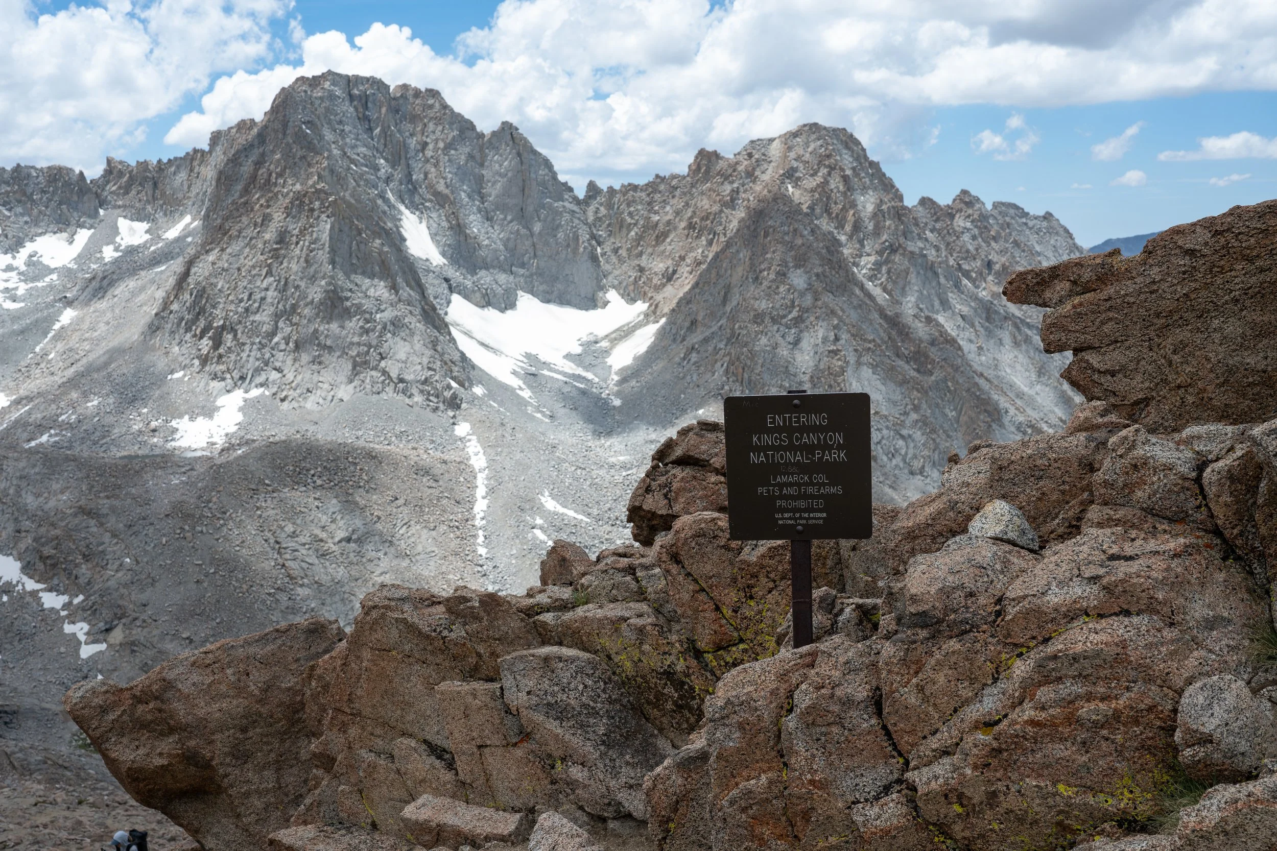
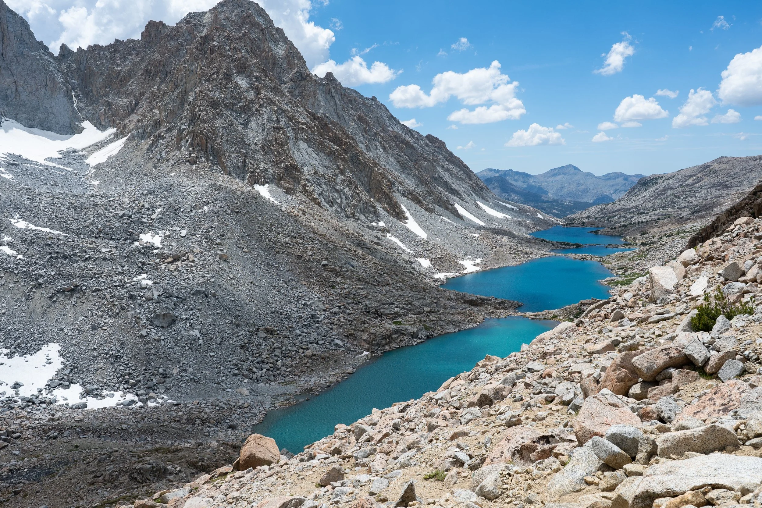
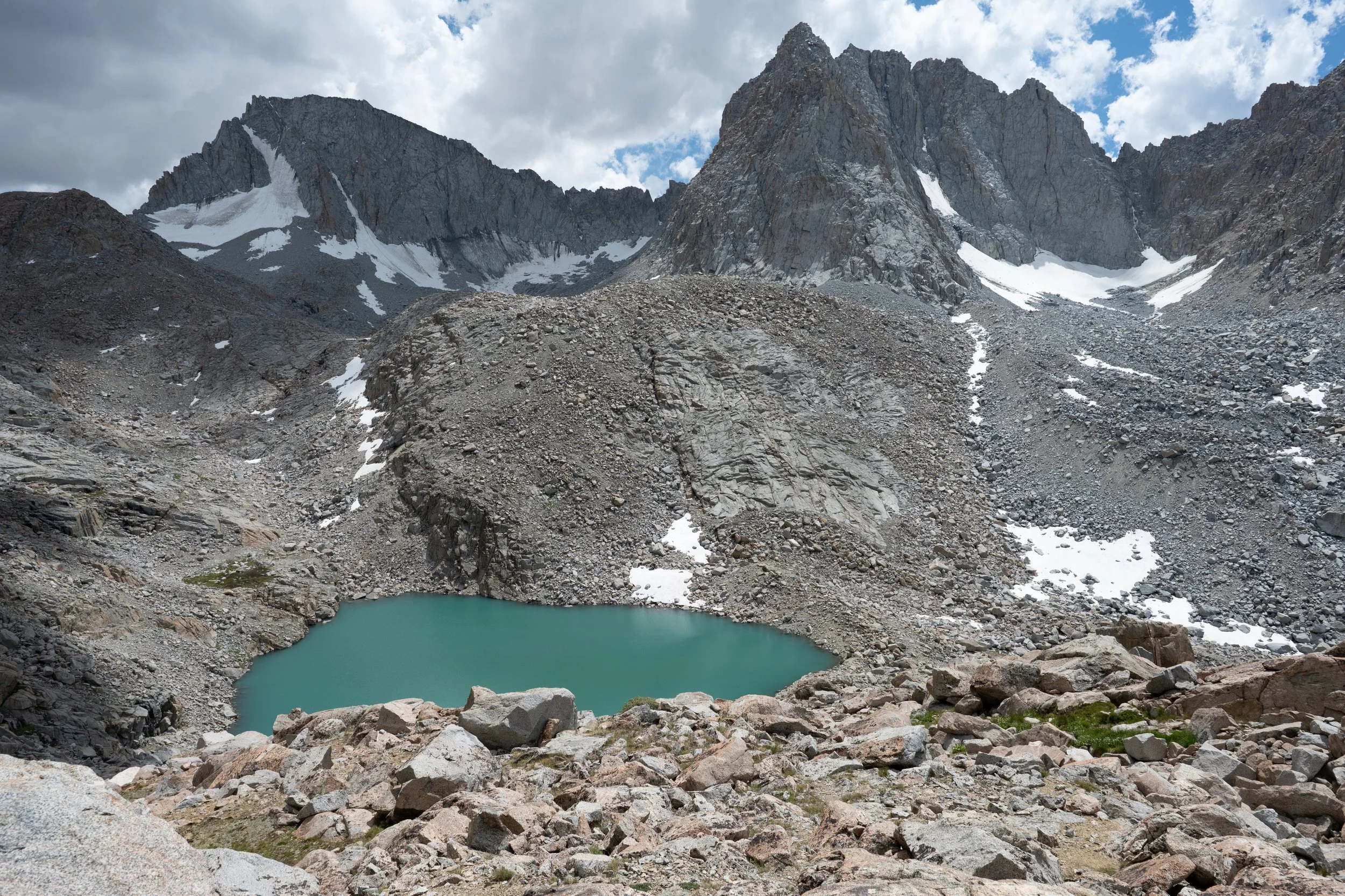
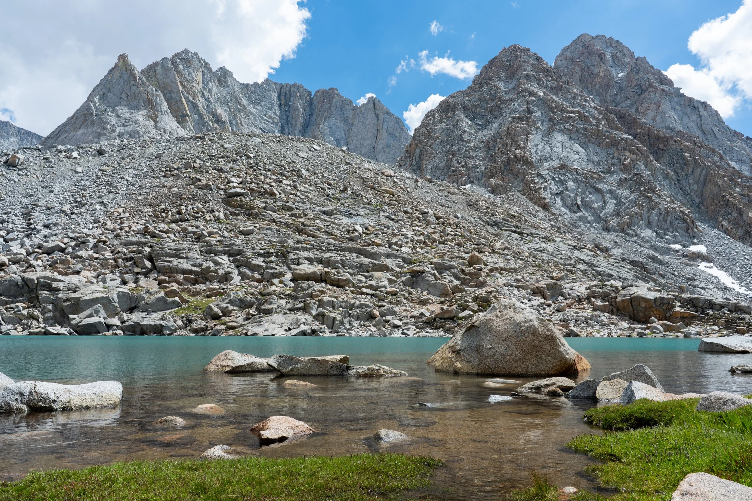
After some brief snacking, I began the descent myself. Here, the trail is easy scree that winds miraculously through otherwise tedious talus. By 2:30 I was cruising along the shores of the glacial lakes below and dreaming about setting up camp. This section of trail was straightforward save for my incessant need to stop for photos every few minutes. I made it to Darwin Bench around 4:15 PM and set up my tent near the top of a small ridge overlooking the large creek below. Not too bad. I felt great and had a huge appetite, which for me is always a good sign that I’m properly hydrated and nourished.
The sun began its slow descent and bathed the entire basin in golden light. I couldn’t help but scramble around the shores of the creek to search for different vantage points every few minutes. I chatted with a neighboring couple who were camped near me — one of only two other groups I saw in the basin on this trip — about what a special place this was. They were spending one night at Darwin Bench before heading back out via Lamarck Col and had mentioned going over Alpine Col to Humphreys Basin on a prior trip, a route they would never do again. This was consistent with everything I had read about Alpine Col (not hard or exposed but extraordinarily tedious) and why I decided not to do a loop out via Piute Pass on this trip.
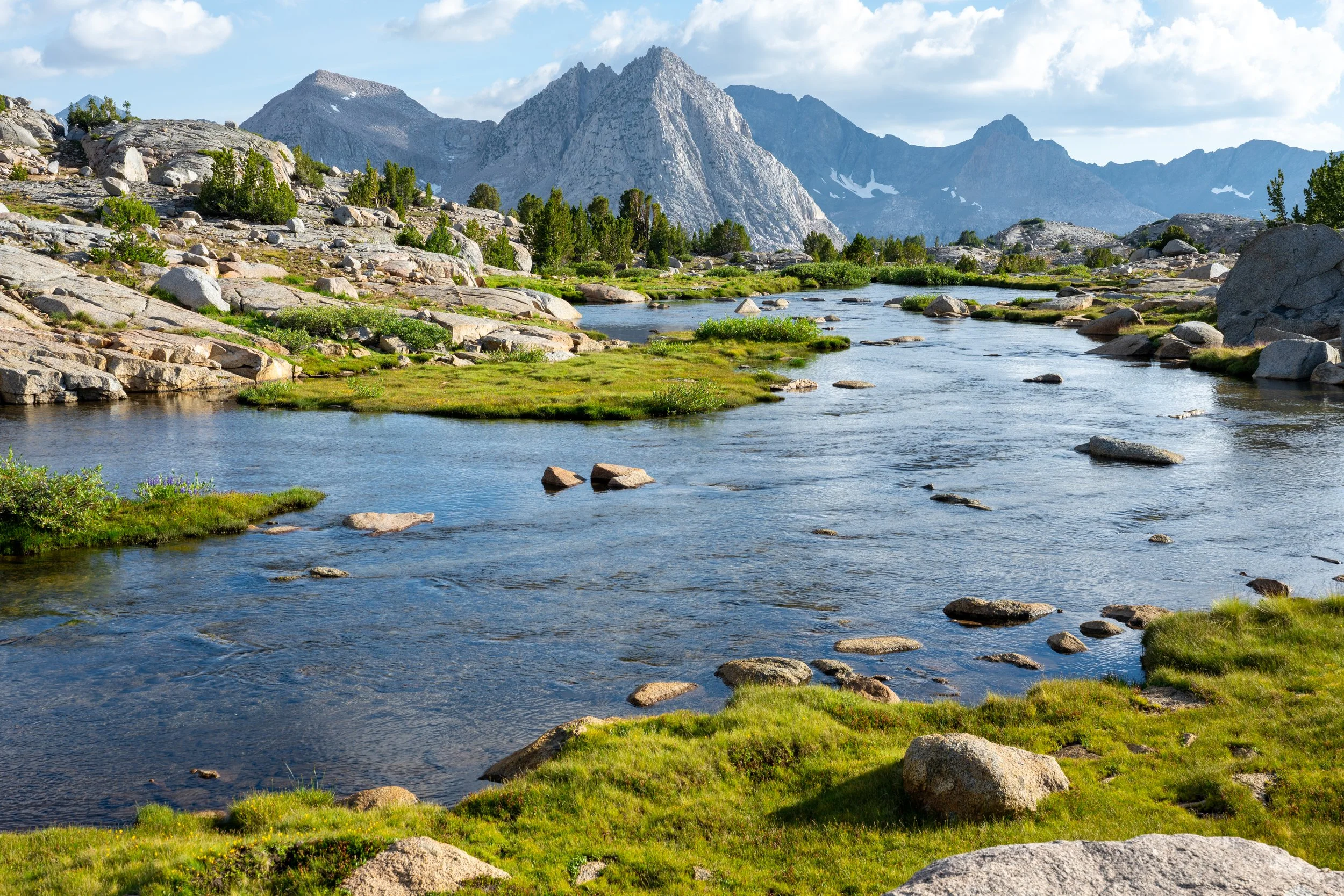
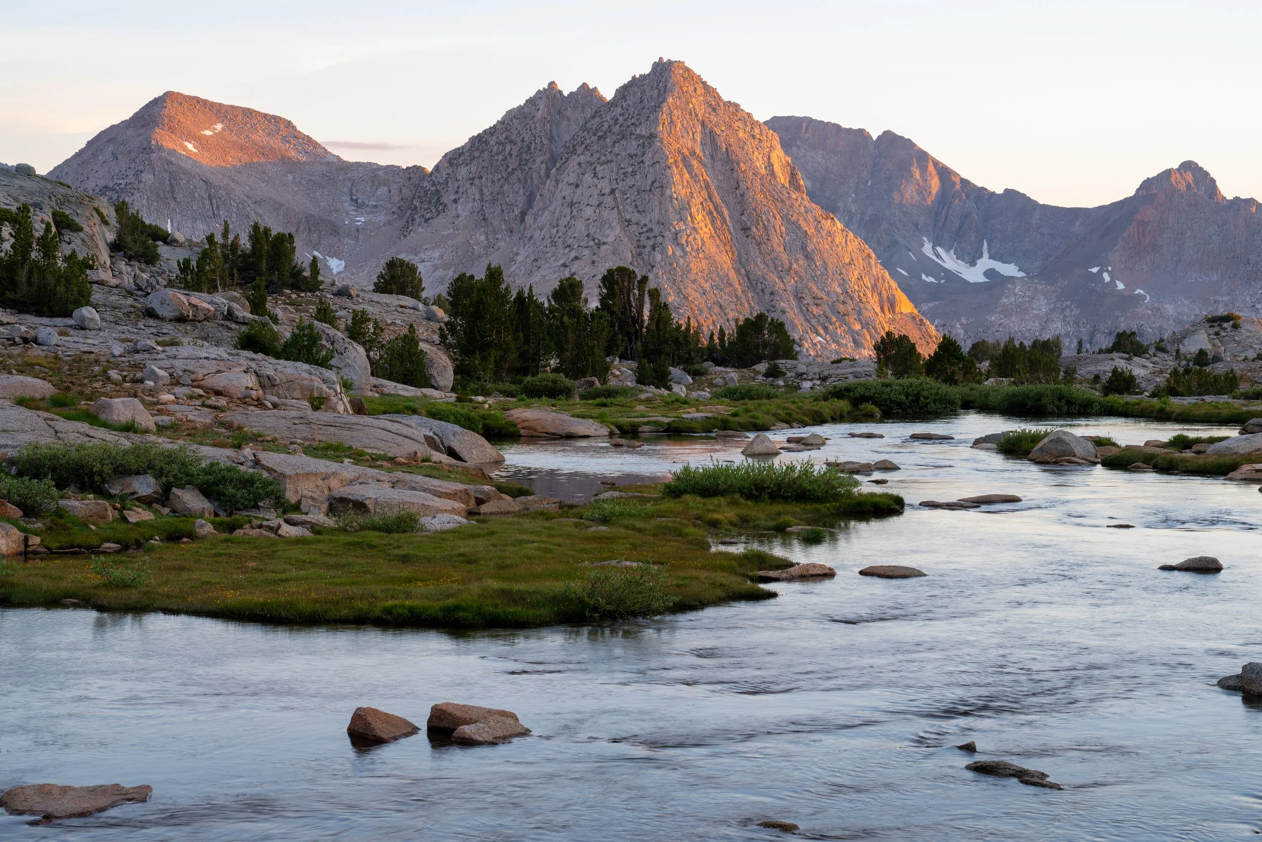
The sun disappeared behind nearby peaks and cast most of the basin in shadows so I wandered further south towards the JMT junction to see if the lighting would improve; it did, but I didn’t take many photos and was content to just soak in the views. At sunset proper, the peaks to the south and east lit up in brilliant oranges and pinks, a preview of the views to come the next night.
I had only gotten four hours of sleep in Mammoth the night before and desperately wanted to just turn in to my tent and play sleep deficit catch up. These days my best sleep tends to be in the mountains believe it or not. Because I hadn’t had too many opportunities to do astrophotography this summer though, I snapped some blue hour photos just after sunset and set an alarm for 2 AM when the nearly full moon would set and the last bits of the Milky Way core would be visible. I snoozed my alarm several times when I could see the moonlight was too bright for Milky Way photography even through my sleep-bleary eyes. At 2:15, I set up my star tracker and took several two-minute exposures with my 24-70/2.8 lens (the only one I tend to bring with me these days now that my star tracker alleviates the need for a separate fast lens) and promptly went back to bed by 3 AM.
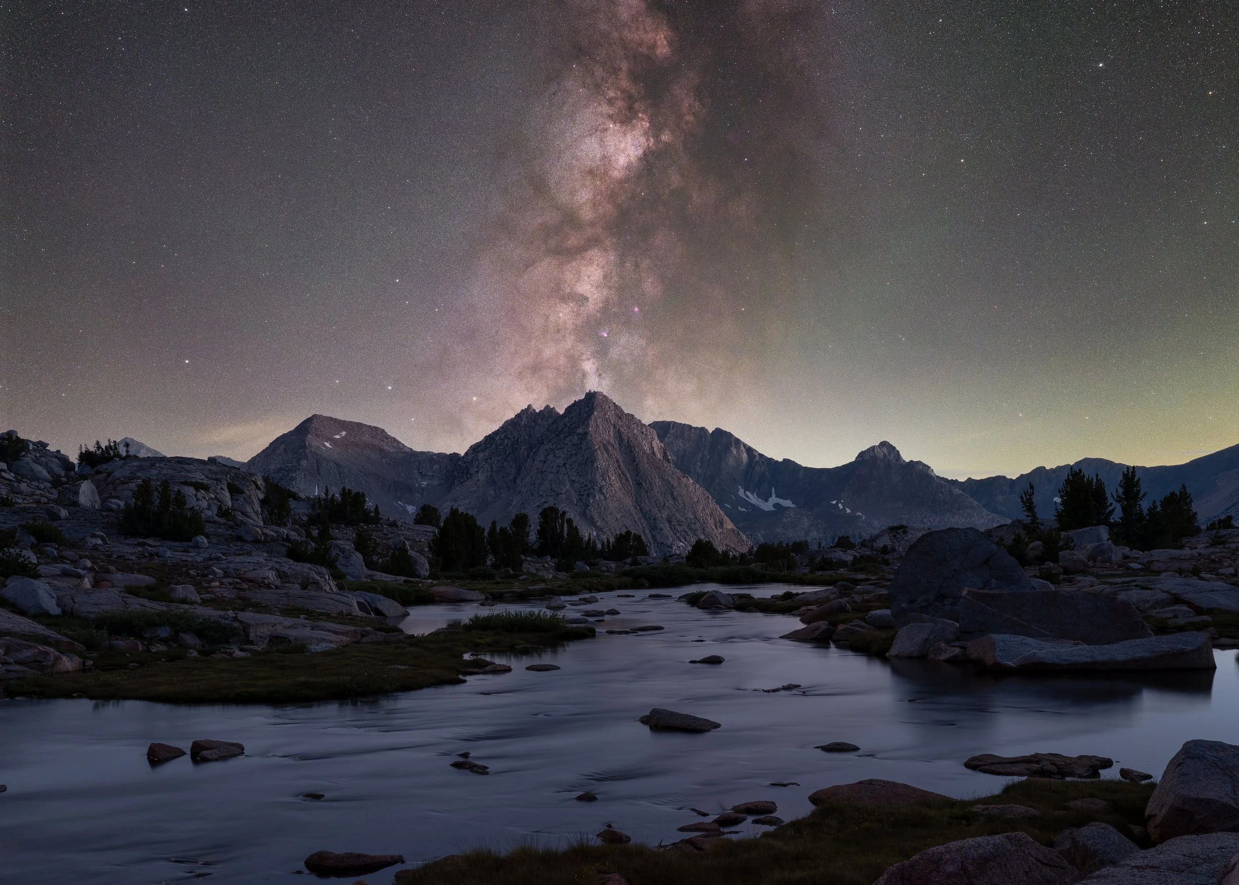
Milky Way over Darwin Bench.
Day 2: Mt. Goethe
I woke up at 7 the next morning, not too fussed about any sunrise photography since the bench was situated too deep between higher elevation peaks to get any alpenglow, and slowly ate breakfast before turning back in for a couple more hours of sleep. This was to be a very leisurely day with nothing planned until my sunset summit of Goethe. I mostly sat by the creek and explored some of the tarns in the basin while intermittently fussing over my map and mentally mapping out my route up Goethe. How much time would I need to make it up to the summit before sunset? Would hiking down in the dark be trivial? Should I bail and just spend sunset at Darwin Bench again? Ahh!
I started my ascent at 4 PM. The first major obstacle was deciding which side of the Lake 11,540 outflow to ascend. I wasn’t sure whether I’d be able to cross it at lake level. The east side would entail wrapping around most of the lake, crossinthe isthmus between Lakes 11,540 and 11,546, and backtracking to the supposed start of the route. The west side, on the other hand, was much shorter but looked like it could have more cliffs. I decided to take the eastern route which, while fine, had some cliffs and lingering snowfields to navigate. I could see the completely flat west side of the lake from here and vowed to go that way on my descent.
Overlooking Darwin Bench in mid-afternoon.
On the isthmus, I ran into two guys who had come over Alpine Col and attested that the talus on the north side was quite bad. Another point in favor of never using that entry point. I took a snack break and filtered water on the northern shores before beginning the real ascent. It was now 5 PM and I was hoping there would be minimal routefinding on this climb. From the northern shore of Lake 11,540, the southeast slope of Goethe has steep cliffs punctuated by almost equally-steep grassy slopes. One can either hike further south and ascend the gentler talus slopes in a more northerly direction before veering northwest onto the southeast slopes, or just go straight up the grass. I opted for the latter which ended up being fine. After the first 200 vertical feet, the grade lessened dramatically and the route really was more like Class 1 with some talus near the top.
I took another break at 6 PM to snack and take some photos. My GPS indicated I was already at 12,800 ft which I considered excellent timing. Twenty minutes later, I stood on the relatively flat summit soaking in the views. I had mostly expected to spend my time photographing the Evolution range and points south, but the views to the north were unexpectedly phenomenal. Goethe Lake was a brilliant deep blue in the fading sunlight and the flat, lush expanse of Humphreys Basin offered an interesting contrast with the jagged peaks to the far north.
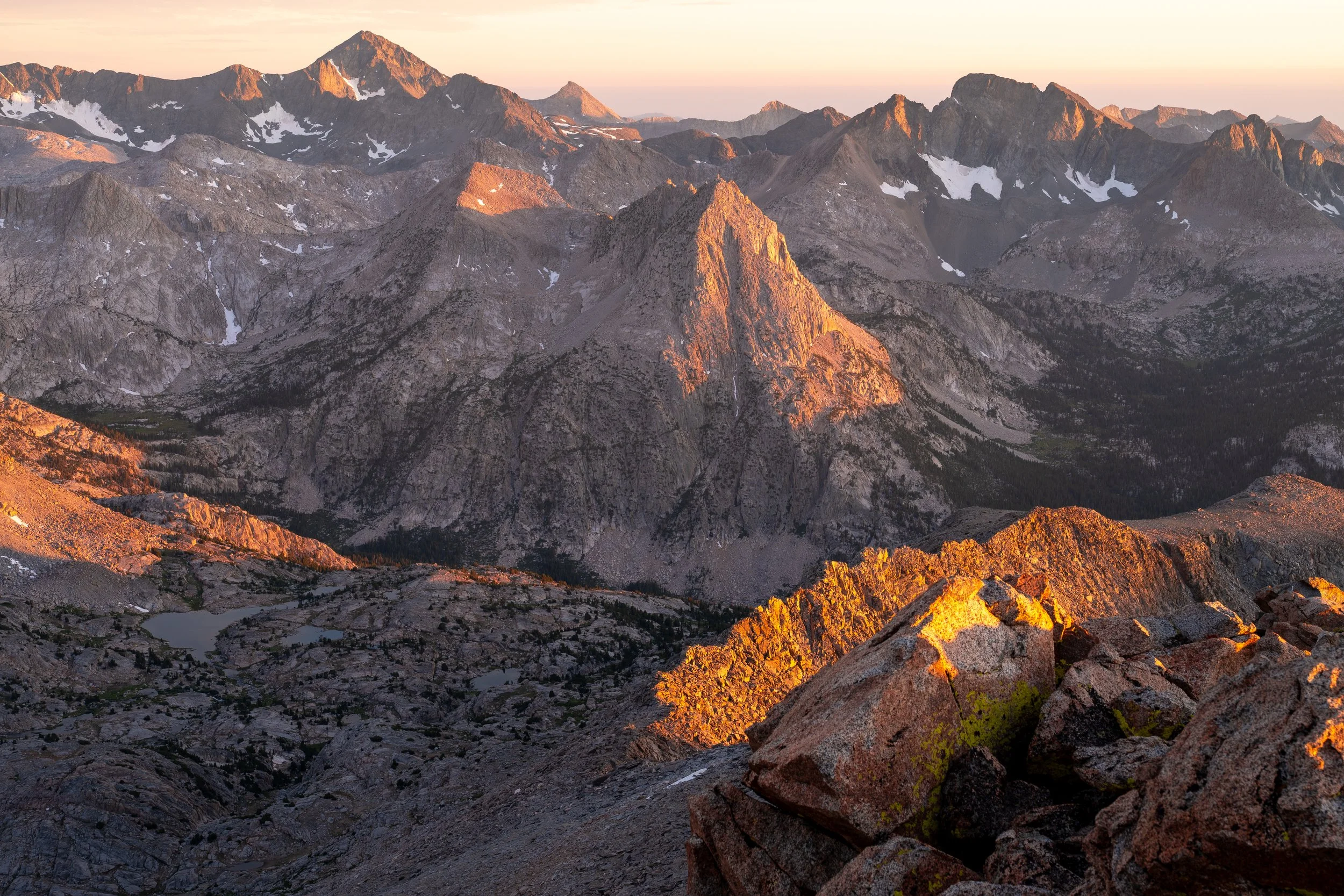
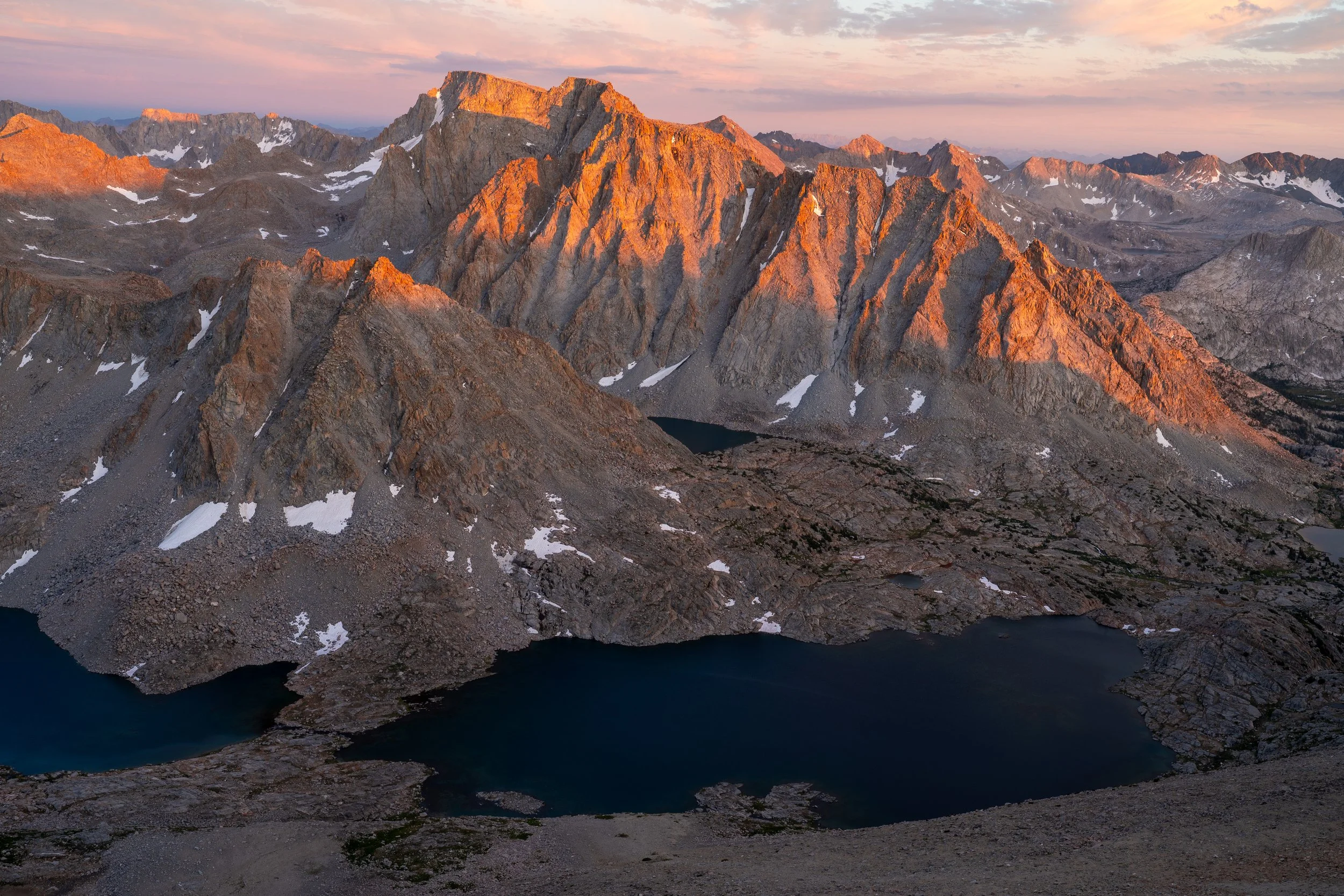
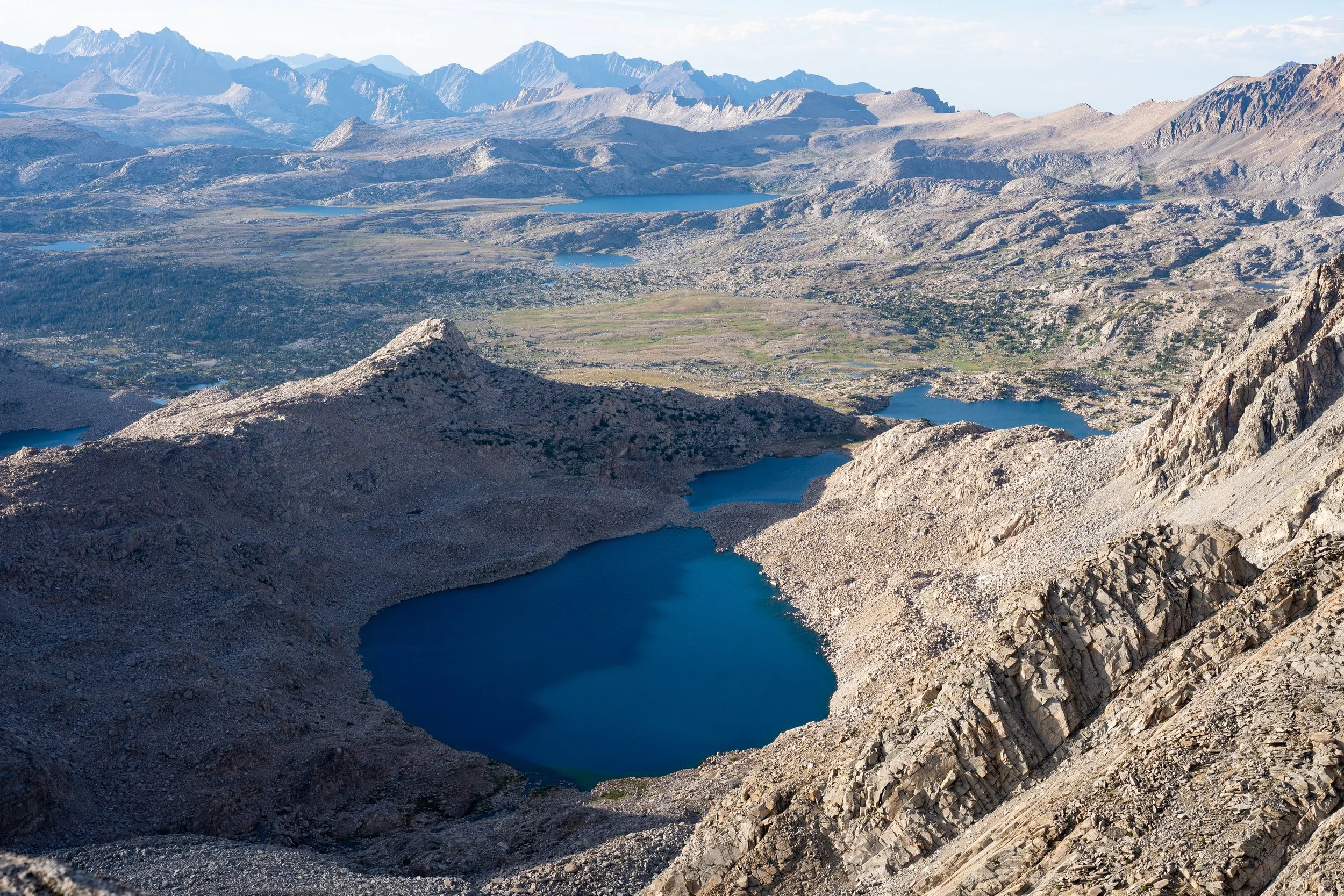
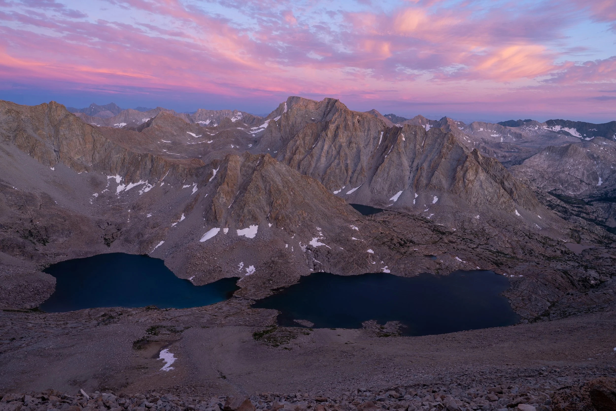
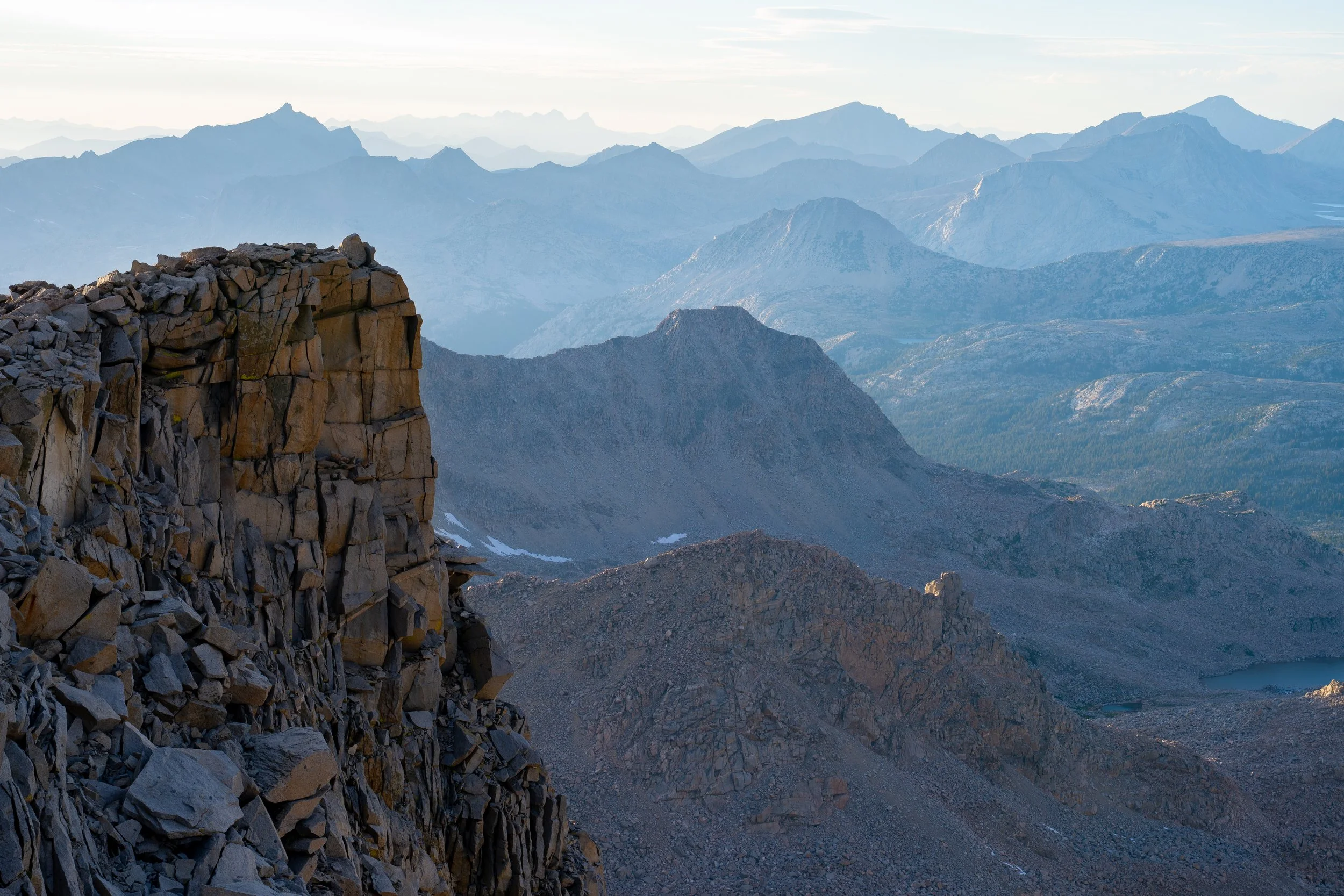
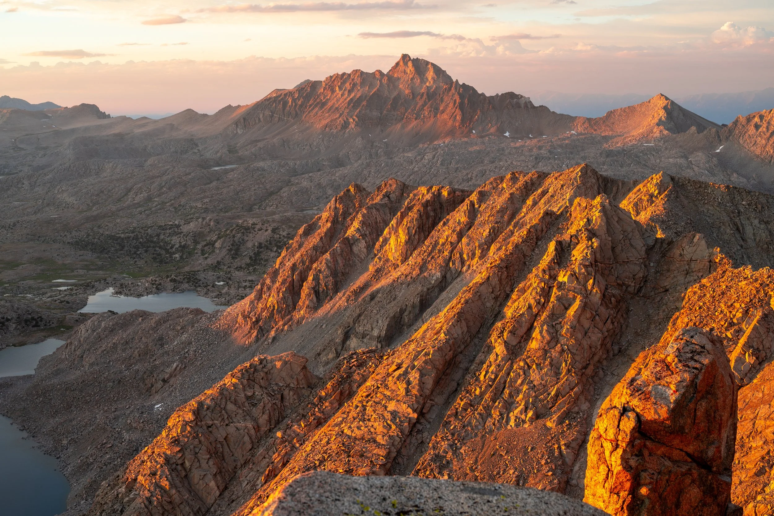
I had about 1.5 hours to spare before sunset and took the time to eat my dinner and think about what shots I wanted to take when the lighting got better. I snapped some photos looking west where the angle of the sun was conducive to producing a layered look to the mountains. North towards Humphreys Basin was phenomenal but the rapidly-setting sun put it in shadows rather quickly. The bulk of my time was spent focused on the lakes below Goethe and the Evolution group. The alpenglow on these peaks was brilliant and made the entire trip worth it. Even after the sun had set, high clouds above the peaks turned pink and purple and gave me a second show.
It was well after sunset before I packed up, donned my headlamp, and began the arduous task of getting back to camp. I was moving by 8:20 PM, and rather quickly at that as I didn’t want to be routefinding in the dark. On my ascent, I had noticed a scree slope further west that looked like it terminated on a gentle talus slope. I decided to try this direction instead of going through the steep grass near the lake shore. The scree was excellent and saved me a ton of time even though I somehow missed the talus field and ended up descended a couple hundred feet of more steep grass before getting to the lake. The western shore of Lake 11,540 was much easier to navigating than its eastern shore. As I got closer to its outlet, large cliffs almost forced me upwards. These cliffs could be navigated using some downsloping ledges — not hard but definitely had a pucker factor due to the steep drop directly into the lake.
I thought I might be able to cross the outlet and rejoin my easy ascent route from the afternoon, but the outlet turned out to be a canyon complete with waterfalls and vertical slab walls. I found a way down slightly west of the outlet creek on stable rock and steep grasses. This brought me back to some of the tarns I spent the afternoon at and before I knew it, I was back to my tent at 9:30 PM. All-in-all a very successful day and I still felt great despite the late hour.
Sunset from Humpreys Basin to Darwin Bench.
Day 3: Darwin Bench to North Lake
The next morning, I woke slightly after sunrise and attempted to get back over Lamarck Col before the heat got too bad. I didn’t hit the trail until 7:30 AM, which worked out nicely since the lightly was decent up Darwin Canyon and the lakes held reflections for the first time I’d ever seen. By the time I got to the base of the col and the sun was baking everything in the canyon, widespread clouds moved in an offered a much-needed respite. I made it to the top of the col by 9:30 and found myself cruising downhill in good time.
One thing to note about the Lamarck Lakes trail is that it goes uphill a number of times when traveled in the direction of North Lake: in the grassy meadow below Lamarck Col, before the exposed traverse around the prominent high point above the upper lake switchbacks and again just before getting to said switchbacks, and twice more before reaching both Lamarck Lakes. Collectively, these can’t add more than 200 ft of gain but the trail was scorching hot and I found myself very irritated and remembering every single one of the mini ascents.
I took several water and snack breaks to combat the heat and made it back to my car by 2 PM. This ended up being one of my favorite outings of the summer so far and I’m already dreaming of getting back out to the area before the summer is over!
—Justin
